2 Lower Pond Street, Duddenhoe End, Saffron Walden, CB11 4UP
About 2 Lower Pond Street
2 Lower Pond Street is a two-bedroom mid-terrace house in Duddenhoe End, Saffron Walden, Saffron Walden (CB11 4UP). It has a recorded floor area of 365 m² (around 3929 sq ft), construction records dating it to 1996-2002 and council tax band C. The latest certificate (May 2018) shows an E (score 49), well below the UK norm with real room to improve. The recommended improvements would push it to D (score 65). Main heating runs on oil.
Untraded for 18 years, with the last transfer in February 2008. That sale landed at the peak of the pre-credit-crunch market, which is a useful reference point when interpreting the price. At 365 m² the property is well over the postcode median (127 m² across 13 EPCs), placing it in the larger end of the local stock. Across 1995–2008, sale prices on this property compounded at 12.5% per year. Today's modelled estimate of £733,000 sits 148.5% above the 2008 sale of £295,000. On a £-per-square-foot basis, the last sale (£75/sq ft) was about 70.9% below the postcode norm. One planning record on file: an extension approved in 2008. Past consents include an extension, meaningful when judging how the property has evolved.
Know exactly what you're buying at 2 Lower Pond Street
Before you offer, see what the listing won't tell you, the true value, the red flags and the full history.
Already flagged here
Valuation
against the asking price
Risks
planning & flood
Sold prices
similar homes nearby
Trends
the local market
What this property has
Inside
- Bedrooms2
Energy performance
2 Lower Pond Street's carbon output runs well above what efficient homes in the postcode produce.
EPC Rating
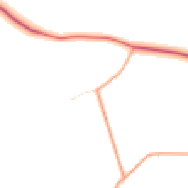
Planning history
- Sept 2008ExtensionFullIn report
Extension: Part single, part two storey
Two storey extension to front and single storey/two storey extensions to rear
- Documents
- 9 docs on file
- Reference
- UTT/1189/08/FUL
We flagged 1 thing worth checking at 2 Lower Pond Street
Independent checks surfaced things a buyer would want to understand before offering. The report explains each one in full, with the underlying data and what to ask.
- Larger development activity nearby
30-day money-back guarantee
Sales history & valuation
Price for 2 Lower Pond Street has grown more than fourfold since the 1995 starting point.
£733,000
Modelled from EPC, postcode comparables and a sale-price growth of 12.5% per year over 13 years.
£295,000
Growth on file: 12.5% per year over 13 years.
Sales timeline
20 February 2008Most recent
£295,000
+173.7%over 9 years24 September 1998
£107,800
+68.4%over 3 years16 March 1995
£64,000
Median price across the last 5 sales in CB11 4UP: £1,200,000 (2022–2018).
Nearby sales in CB11 4UP
6 Lower Pond Street, Duddenhoe End, Saffron Walden, CB11 4UP
Sold Jan 2022
£545,000Netherby, Lower Pond Street, Duddenhoe End, Saffron Walden, CB11 4UP
Sold Feb 2021
£1,225,000Hope Farmhouse, Lower Pond Street, Duddenhoe End, Saffron Walden, CB11 4UP
Sold Jan 2020
£1,200,0002 Duke S Barn, Lower Pond Street, Duddenhoe End, Saffron Walden, CB11 4UP
Sold Jul 2018
£1,300,000The Old Barn, Lower Pond Street, Duddenhoe End, Saffron Walden, CB11 4UP
Sold Jul 2018
£539,000
Everything we know about 2 Lower Pond Street, in one report
What it's really worth, what could be wrong, and the planning, sales and area data in full.
What we flagged
- Larger development activity nearby

Versus other Lower Pond Street homes
2 Lower Pond Street is notably below the street on price per m².
Price per m²
£808
Street avg £3,831
Floor Area
365 m²
Street avg 150 m²
Habitable Rooms
10 rooms
Street avg 6 rooms
CO₂ Emissions
18.0 t/year
Street avg 8.4 t/year
Similar properties nearby
1 Birdbush Avenue
CB11 4DJ
1 Church Path, Wendens Ambo
CB11 4JZ
1 Clay Hall Cottages, Catmere End
CB11 4XG
1 Clay Pit Piece
CB11 4DR
1 Alma Croft, Strethall Road, Littlebury
CB11 4TQ
1 Adams Court
CB11 4DZ
1 Auton Croft
CB11 4DY
1 Beck Road
CB11 4EH
The neighbourhood at a glance
Daytime road noise here sits well below conversation level — a quiet pocket of the postcode.
Crime
2/mo
Steady year-on-year across the wider district.
Nearest stop
1.9 km
Kings Lane — bus stop.
Closest school
2.2 km
Chrishall Holy Trinity and St Nicholas CofE (Aided) Primary School and Pre-School. 1 school nearby.
Go deeper on the local area
The full report breaks down crime, transport links, schools and air quality in depth.
Road noise across the postcode
Daytime· 07:00 – 23:00
45.3dB
Night-time· 23:00 – 07:00
38.5dB