11 Joyce Close, Horfield, Bristol, BS7 0PE
About 11 Joyce Close
11 Joyce Close is a mid-terrace house in Horfield, Bristol, Bristol (BS7 0PE). It has a recorded floor area of 68 m² (around 732 sq ft), construction records dating it to 2003-2006 and council tax band C. The latest certificate (May 2022) returns an A (score 100), the top energy band on the EPC scale.
At 68 m² it's 25.3% smaller than the typical home in the postcode (91 m² median across 8 EPCs). Its energy rating outperforms most of the postcode (better than 88% of similar EPCs).
Everything you need to know about 11 Joyce Close
The true value, the hidden risks and the full sale history, in one report.
Pick your report · every report is £14.99
One time fee only - money back guarantee

The data behind every report


Energy performance
EPC Rating
Get a survey for this property
Level 2 HomeBuyer Report
We've checked 10 risk factors against the available data for this property and believe a Level 2 HomeBuyer Report could be a suitable option for you.
From £545 · Includes VAT
Planning history
11 Joyce Close has no planning applications on record.
But the area is active
162 notable applications nearby — larger schemes and conversions that could reshape the street. The report maps them all.
Sales history & valuation
11 Joyce Close has no Land Registry sales on file, suggesting it has stayed in the same hands since registration began.
£264,000
Modelled from EPC, postcode comparables.
No sales recorded with HM Land Registry
That can mean the property has never traded since the registry began publishing in 1995, was a new build that hasn't been registered yet, or is held in the same hands long-term.
Versus other Joyce Close homes
EPC Rating for 11 Joyce Close runs comfortably ahead of the street norm.
EPC Rating
100 (A)
Street avg 79 (C)
Floor Area
68 m²
Street avg 89 m²
CO₂ Emissions
-0.2 t/year
Street avg 2.0 t/year
Habitable Rooms
4 rooms
Street avg 5 rooms
Everything you need to know about 11 Joyce Close
The true value, the hidden risks and the full sale history, in one report.
Pick your report · every report is £14.99
One time fee only - money back guarantee
The data behind every report
Similar properties nearby
The neighbourhood at a glance
Reported crime in the wider district is trending notably upward year-on-year.
Crime
6/mo
Rising year-on-year across the wider district.
Nearest stop
0.1 km
Toronto Road — bus stop.
Closest school
0.3 km
Upper Horfield Primary School. 29 schools nearby.
Go deeper on the local area
A Local Area report breaks down crime, transport links, schools and air quality in depth.
Road noise across the postcode
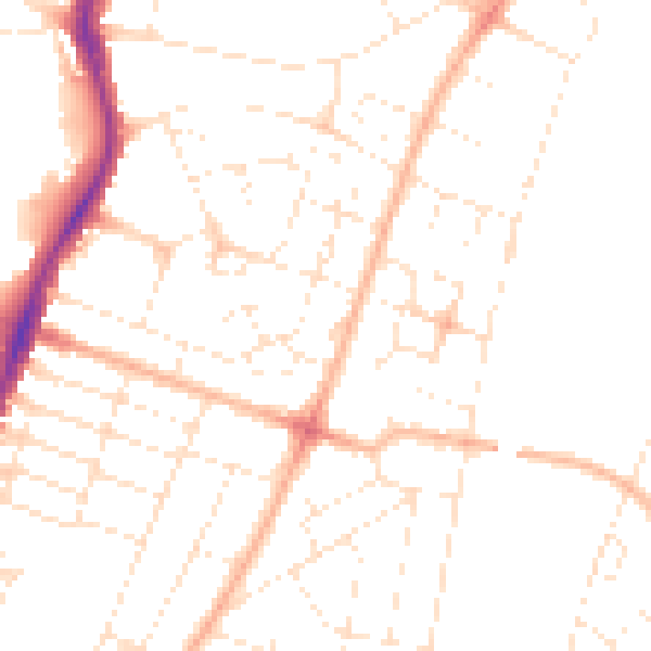
Daytime· 07:00 – 23:00
48.3dB

Night-time· 23:00 – 07:00
38.0dB