152a, Church Road, Redfield, Bristol, BS5 9HN
About 152a
152a is a mid-terrace house in Redfield, Bristol, Bristol (BS5 9HN). It has a recorded floor area of 33 m² (around 355 sq ft) and construction records dating it to 1900-1929. At 33 m² this is the smallest unit on EPC record across the building (33–73 m²). The building's EPC ratings span E to D, with this unit at the top. The latest certificate (December 2016) shows a D (score 60), on the cusp of jumping into the C band.
Held since May 2007 — that's 19 years off the open market, well above the local norm. That sale landed at the peak of the pre-credit-crunch market, which is a useful reference point when interpreting the price. At 33 m² it sits well below the postcode median (60 m² across 4 EPCs), making it one of the more compact homes locally. Across 1999–2007, sale prices on this property compounded at 15.3% per year. Today's modelled estimate of £186,000 is 37.8% above the 2007 sale price.
Everything you need to know about 152a
The true value, the hidden risks and the full sale history, in one report.
30-day money-back guarantee

The data behind every report


Energy performance
EPC Rating
Planning history
152a has no planning applications on record.
Notable planning nearby
23applications of note in the surrounding area
We flagged 2 things worth checking at 152a
Independent checks surfaced things a buyer would want to understand before offering. The report explains each one in full, with the underlying data and what to ask.
- Signs of HMO activity in the area
- Recent ownership pattern worth a look
30-day money-back guarantee
Sales history & valuation
Sale price has grown by over 3x since 1999.
£186,000
Modelled from EPC, postcode comparables and a sale-price growth of 15.3% per year over 8 years.
£135,000
Growth on file: 15.3% per year over 8 years.
Sales timeline
1 May 2007Most recent
£135,000
+48.4%over 9 months2 August 2006
£91,000
+102.2%over 6 years4 August 1999
£45,000
Versus other Church Road homes
Floor Area for 152a lags the street by a wide margin.
EPC Rating
60 (D)
Street avg 57 (D)
Floor Area
33 m²
Street avg 60 m²
CO₂ Emissions
2.2 t/year
Street avg 3.4 t/year
Habitable Rooms
3 rooms
Street avg 3 rooms
Everything you need to know about 152a
The true value, the hidden risks and the full sale history, in one report.
30-day money-back guarantee
The data behind every report
Similar properties nearby
The neighbourhood at a glance
Rail-style transport is unusually close for this postcode.
Crime
11/mo
Steady year-on-year across the wider district.
Nearest stop
0.1 km
Blackswarth Road — bus stop.
Closest school
0.2 km
Redfield Educate Together Primary Academy. 43 schools nearby.
Go deeper on the local area
The full report breaks down crime, transport links, schools and air quality in depth.
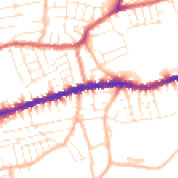
Road noise across the postcode
Daytime· 07:00 – 23:00
51.8dB

Night-time· 23:00 – 07:00
41.5dB