7 Beaufort Road, St George, Bristol, BS5 8DH
About 7 Beaufort Road
7 Beaufort Road is a detached house in St. George, Bristol, Bristol (BS5 8DH). It has a recorded floor area of 60 m² (around 646 sq ft), construction records dating it to 1996-2002 and council tax band A. The latest certificate (December 2014) shows a C (score 70). The recommended improvements would push it to B (score 87). The latest certificate is from December 2014, so improvements made since then won't be reflected.
2 planning records sit against the property, 1 approved, 0 refused.
Everything you need to know about 7 Beaufort Road
The true value, the hidden risks and the full sale history, in one report.
30-day money-back guarantee

The data behind every report


Energy performance
7 Beaufort Road's EPC is over a decade old — improvements since won't be reflected.
EPC Expired
This certificate is over 10 years old and is no longer valid.Expired 23 Dec 2024
EPC Rating
Planning history
- Nov 2016AmendmentIn report
Application for a non-material amendment following consent granted under app.no. 16/01165/H - now proposed relocation of garage 500mm further to north (away from House).
- Council
- St George
- Documents
- 7 docs on file
- Reference
- 16/05855/NMA
- Jul 2016OutbuildingFullIn report
Double garage at rear of property.
- Documents
- 6 docs on file
- Reference
- 16/01165/H
We flagged 2 things worth checking at 7 Beaufort Road
Independent checks surfaced things a buyer would want to understand before offering. The report explains each one in full, with the underlying data and what to ask.
- Signs of HMO activity in the area
- Larger development activity nearby
30-day money-back guarantee
Sales history & valuation
7 Beaufort Road has no Land Registry sales on file, suggesting it has stayed in the same hands since registration began.
£252,000
Modelled from EPC, postcode comparables.
No sales recorded with HM Land Registry
That can mean the property has never traded since the registry began publishing in 1995, was a new build that hasn't been registered yet, or is held in the same hands long-term.
Everything you need to know about 7 Beaufort Road
The true value, the hidden risks and the full sale history, in one report.
30-day money-back guarantee
The data behind every report
Similar properties nearby
The neighbourhood at a glance
Crime
11/mo
Steady year-on-year across the wider district.
Nearest stop
0.2 km
Blackswarth Road — bus stop.
Closest school
0.1 km
St Patrick's Catholic Primary School. 44 schools nearby.
Go deeper on the local area
The full report breaks down crime, transport links, schools and air quality in depth.
Road noise across the postcode
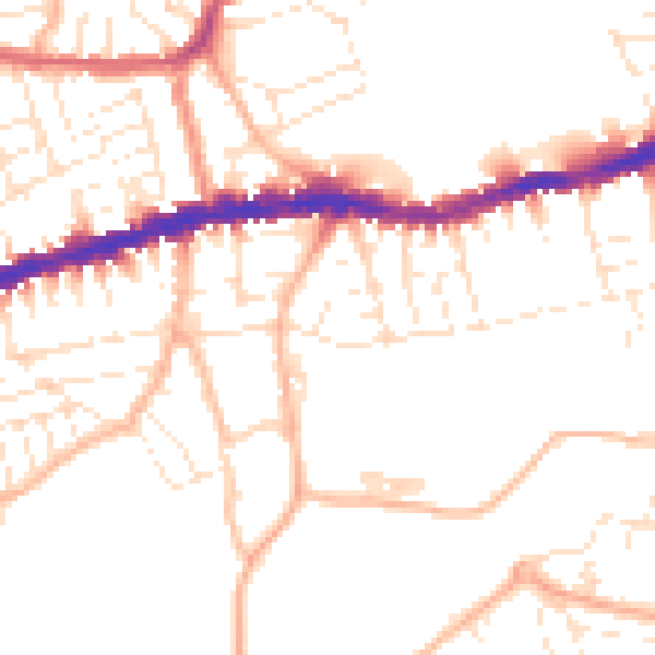
Daytime· 07:00 – 23:00
50.7dB

Night-time· 23:00 – 07:00
40.5dB