14 Arthur Skemp Close, Bristol, BS5 0BA
About 14 Arthur Skemp Close
14 Arthur Skemp Close is an end-of-terrace house in Bristol (BS5 0BA). It has a recorded floor area of 89 m² (around 958 sq ft), construction records dating it to 1967-1975 and council tax band B. The latest certificate (October 2022) shows a D (score 64), on the cusp of jumping into the C band. The rating has held steady at D across 2 certificates since January 2014. Between certificates, lighting went from Very Poor to Good; while wall efficiency dropped from Poor to Very Poor and roof efficiency dropped from Very Good to Good. The recommended improvements would push it to C (score 77).
On a £-per-square-foot basis, the last sale (£361/sq ft) was about 248% above the typical sold price in the postcode. Sold December 2022 for £345,500. That sale was during the post-pandemic price surge, when transactions cleared materially above pre-2020 trend.
Everything you need to know about 14 Arthur Skemp Close
The true value, the hidden risks and the full sale history, in one report.
30-day money-back guarantee

The data behind every report


Energy performance
EPC Rating
Property Improvements
Changes detected from historical EPC data
Heating controls upgraded for better temperature management
More low energy lighting installed
Planning history
14 Arthur Skemp Close has no planning applications on record.
Notable planning nearby
23applications of note in the surrounding area
We flagged 2 things worth checking at 14 Arthur Skemp Close
Independent checks surfaced things a buyer would want to understand before offering. The report explains each one in full, with the underlying data and what to ask.
- Signs of HMO activity in the area
- Larger development activity nearby
30-day money-back guarantee
Sales history & valuation
Latest sale on 14 Arthur Skemp Close was the highest on Land Registry record across the postcode.
£375,000
Modelled from EPC, postcode comparables.
£345,500
Recorded with HM Land Registry.
Sales timeline
16 December 2022Most recent
£345,500
Median price across the last 5 sales in BS5 0BA: £295,000 (2024–2011).
Nearby sales in BS5 0BA
Versus other Arthur Skemp Close homes
Price per m² for 14 Arthur Skemp Close runs comfortably ahead of the street norm.
Price per m²
£3,882
Street avg £2,184
Floor Area
89 m²
Street avg 96 m²
Habitable Rooms
5 rooms
Street avg 5 rooms
CO₂ Emissions
3.7 t/year
Street avg 3.5 t/year
Everything you need to know about 14 Arthur Skemp Close
The true value, the hidden risks and the full sale history, in one report.
30-day money-back guarantee
The data behind every report
Similar properties nearby
The neighbourhood at a glance
Rail-style transport is unusually close for this postcode.
Crime
11/mo
Steady year-on-year across the wider district.
Nearest stop
0.2 km
Church Street — bus stop.
Closest school
0.3 km
E-Act Barton Hill Academy. 46 schools nearby.
Go deeper on the local area
The full report breaks down crime, transport links, schools and air quality in depth.
Road noise across the postcode
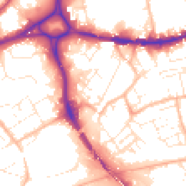
Daytime· 07:00 – 23:00
55.3dB

Night-time· 23:00 – 07:00
45.5dB