7a, Stanley Avenue, Filton, Bristol, BS34 7NQ
About 7a
7a is an end-of-terrace house in Filton, Bristol, Bristol (BS34 7NQ). It has a recorded floor area of 114 m² (around 1227 sq ft) and construction records dating it to 2023. The latest certificate (May 2024) shows a C (score 80), near the top of the C band. The recommended improvements would push it to B (score 87). Main heating runs on electricity: electricity, unspecified tariff.
At 114 m² the property is well over the postcode median (87 m² across 22 EPCs), placing it in the larger end of the local stock.
Everything you need to know about 7a
The true value, the hidden risks and the full sale history, in one report.
Pick your report · every report is £14.99
One time fee only - money back guarantee

The data behind every report


Energy performance
7a's carbon output is low for the local stock.
EPC Rating
Get a survey for this property
Level 2 HomeBuyer Report
We've checked 10 risk factors against the available data for this property and believe a Level 2 HomeBuyer Report could be a suitable option for you.
From £695 · Includes VAT
Planning history
7a has no planning applications on record.
But the area is active
130 notable applications nearby — larger schemes and conversions that could reshape the street. The report maps them all.
Sales history & valuation
7a has no Land Registry sales on file, suggesting it has stayed in the same hands since registration began.
£412,000
Modelled from EPC, postcode comparables.
No sales recorded with HM Land Registry
That can mean the property has never traded since the registry began publishing in 1995, was a new build that hasn't been registered yet, or is held in the same hands long-term.
Median price across the last 5 sales in BS34 7NQ: £347,750 (2024–2021).
Nearby sales in BS34 7NQ
First Floor Flat, 21 Stanley Avenue, Filton, Bristol, BS34 7NQ
Sold Oct 2024
£179,95015 Stanley Avenue, Filton, Bristol, BS34 7NQ
Sold Feb 2022
£373,0007 Stanley Avenue, Filton, Bristol, BS34 7NQ
Sold Feb 2022
£392,50019 Stanley Avenue, Filton, Bristol, BS34 7NQ
Sold Jan 2022
£347,75032 Stanley Avenue, Filton, Bristol, BS34 7NQ
Sold Apr 2021
£316,000
Versus other Stanley Avenue homes
On epc rating, 7a stands well clear of the street.
EPC Rating
80 (C)
Street avg 63 (D)
Floor Area
114 m²
Street avg 96 m²
CO₂ Emissions
0.5 t/year
Street avg 4.2 t/year
Everything you need to know about 7a
The true value, the hidden risks and the full sale history, in one report.
Pick your report · every report is £14.99
One time fee only - money back guarantee
The data behind every report
Similar properties nearby
1 Mackie Grove, Filton
BS34 7NG
1 Hunters Way, Filton
BS34 7EW
1 Glebelands Road, Filton
BS34 7AD
1 Charlton Avenue
BS34 7QX
1 Dunkeld Avenue, Filton
BS34 7RH
1 Conygre Road, Filton
BS34 7DA
1 Elm Park, Filton
BS34 7PR
1 Branksome Drive, Filton
BS34 7EG
The neighbourhood at a glance
Rail-style transport is unusually close for this postcode.
Crime
6/mo
Steady year-on-year across the wider district.
Nearest stop
0.2 km
Wallscourt Road — bus stop.
Closest school
0.4 km
Shield Road Primary School. 24 schools nearby.
Go deeper on the local area
A Local Area report breaks down crime, transport links, schools and air quality in depth.
Road noise across the postcode
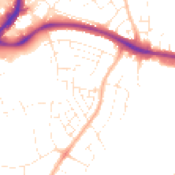
Daytime· 07:00 – 23:00
49.3dB

Night-time· 23:00 – 07:00
39.8dB