20 Bartletts Road, Bristol, BS3 3PL
About 20 Bartletts Road
20 Bartletts Road is a three-bedroom mid-terrace house in Bristol (BS3 3PL). It has a recorded floor area of 86 m² (around 926 sq ft), construction records dating it to before 1900 and council tax band B. The latest certificate (July 2017) shows a D (score 66), on the cusp of jumping into the C band. The recommended improvements would lift it to B (score 84), a 2-band jump.
Across 2007–2017, sale prices on this property compounded at 5.9% per year. Today's modelled estimate of £445,000 is 36.9% above the 2017 sale price. On a £-per-square-foot basis, the last sale (£351/sq ft) was about 125.9% above the typical sold price in the postcode. On the market in August 2017 and unlisted since — roughly 9 years.
What this property has
Inside
- Bedrooms3
- Bathrooms1
- Dining roomYes
Outside
- Private gardenYes
Building
- Heating systemGas
Everything you need to know about 20 Bartletts Road
The true value, the hidden risks and the full sale history, in one report.
Pick your report · every report is £14.99
One time fee only - money back guarantee

The data behind every report


Energy performance
Recommended upgrades on file would lift this property by multiple EPC bands.
EPC Rating
Get a survey for this property
Level 3 Building Survey
Because the property was built before 1919 and has solid (non-cavity) walls, we believe a Level 3 building survey should be considered.
From £1,020 · Includes VAT
Planning history
20 Bartletts Road has no planning applications on record.
But the area is active
9 notable applications nearby — larger schemes and conversions that could reshape the street. The report maps them all.
Sales history & valuation
20 Bartletts Road valuation sits well clear of the typical sold price in this postcode.
£445,000
Modelled from EPC, postcode comparables and a sale-price growth of 5.9% per year over 10 years.
£325,000
Growth on file: 5.9% per year over 10 years.
Sales timeline
24 August 2017Most recent
£325,000
+79.6%over 10 years17 May 2007
£181,000
Median price across the last 5 sales in BS3 3PL: £401,400 (2025–2019).
Nearby sales in BS3 3PL
Versus other Bartletts Road homes
20 Bartletts Road is notably below the street on floor area.
Price per m²
£3,779
Street avg £2,373
Floor Area
86 m²
Street avg 93 m²
Habitable Rooms
5 rooms
Street avg 5 rooms
CO₂ Emissions
3.3 t/year
Street avg 4.1 t/year
Everything you need to know about 20 Bartletts Road
The true value, the hidden risks and the full sale history, in one report.
Pick your report · every report is £14.99
One time fee only - money back guarantee
The data behind every report
Similar properties nearby
1 British Road
BS3 3BS
1 Argus Road
BS3 3NY
1 Diamond Street
BS3 3LF
1 Beaufort Street, Bedminster
BS3 3PH
1 Bartletts Road
BS3 3PL
1 Ashfield Terrace, Ashfield Road, Bedminster
BS3 3TT
1 Elmdale Road, Bedminster
BS3 3JF
1 Garnet Street
BS3 3JU
The neighbourhood at a glance
Rail-style transport is unusually close for this postcode.
Crime
4/mo
Rising year-on-year across the wider district.
Nearest stop
0.1 km
United Reform Church — bus stop.
Closest school
0.3 km
Compass Point Primary School. 35 schools nearby.
Go deeper on the local area
A Local Area report breaks down crime, transport links, schools and air quality in depth.
Road noise across the postcode
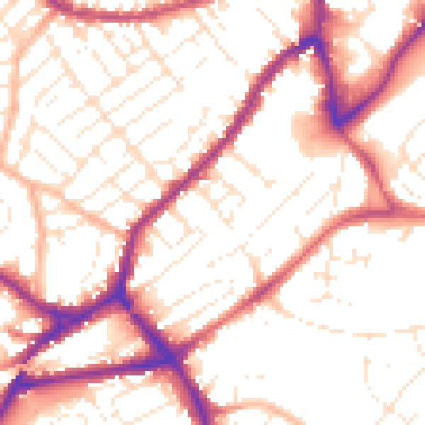
Daytime· 07:00 – 23:00
53.8dB

Night-time· 23:00 – 07:00
44.2dB