2a, North Grove, Pill, Bristol, BS20 0JL
About 2a
2a is an end-of-terrace house in Pill, Bristol, Bristol (BS20 0JL). It has a recorded floor area of 73 m² (around 786 sq ft) and construction records dating it to 1967-1975. The latest certificate (December 2020) shows a D (score 67), on the cusp of jumping into the C band. The rating has held steady at D across 2 certificates since May 2010. Between certificates, roof efficiency went from Average to Good; while wall efficiency dropped from Good to Average. The recommended improvements would lift it to B (score 86), a 2-band jump.
Today's modelled estimate of £273,000 sits 58.7% above the 2018 sale of £172,000. Last sale on file: £172,000 in June 2018.
Know exactly what you're buying at 2a
Before you offer, see what the listing won't tell you, the true value, the red flags and the full history.
Valuation
against the asking price
Risks
planning & flood
Sold prices
similar homes nearby
Trends
the local market
Energy performance
Recommended upgrades on file would lift this property by multiple EPC bands.
EPC Rating
Property Improvements
Changes detected from historical EPC data
Roof insulation improved
Planning history
2a has no planning applications on record.
The full report still covers planning activity across the surrounding area.
Sales history & valuation
2a valuation sits well clear of the typical sold price in this postcode.
£273,000
Modelled from EPC, postcode comparables.
£172,000
Recorded with HM Land Registry.
Sales timeline
11 June 2018Most recent
£172,000
Median price across the last 5 sales in BS20 0JL: £245,000 (2021–2015).
Everything we know about 2a, in one report
What it's really worth, what could be wrong, and the planning, sales and area data in full.
- Am I paying too much?
- Is something wrong with it?
- Is the agent's story true?
- Will it hold its value?

Versus other North Grove homes
On floor area, 2a runs well behind the street norm.
Price per m²
£2,356
Street avg £2,702
Floor Area
73 m²
Street avg 85 m²
Habitable Rooms
5 rooms
Street avg 5 rooms
CO₂ Emissions
2.9 t/year
Street avg 2.8 t/year
Similar properties nearby
The neighbourhood at a glance
Crime
5/mo
Steady year-on-year across the wider district.
Nearest stop
0.3 km
Newsome Avenue — bus stop.
Closest school
0.2 km
Crockerne Church of England Primary School. 10 schools nearby.
Go deeper on the local area
The full report breaks down crime, transport links, schools and air quality in depth.
Road noise across the postcode
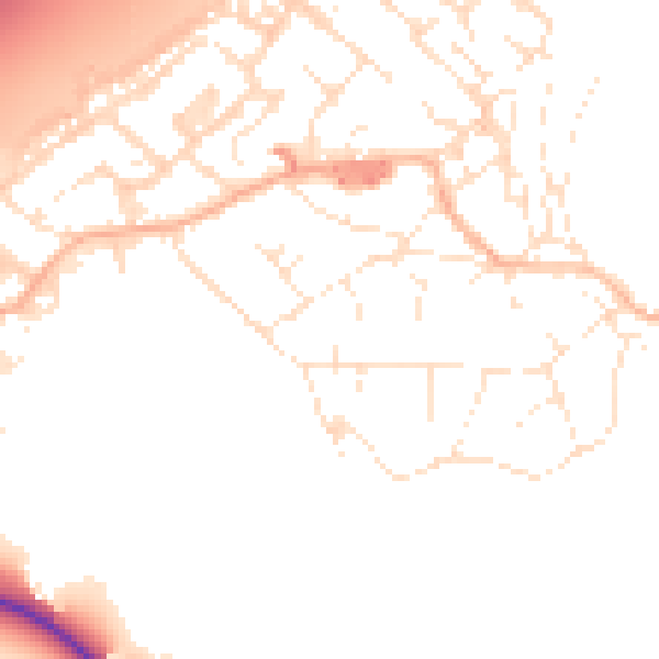
Daytime· 07:00 – 23:00
51.4dB

Night-time· 23:00 – 07:00
42.1dB