Wellington House, Flat, Pump Square, Pill, Bristol, BS20 0BG
About Wellington House
Wellington House is a property in Pill, Bristol, Bristol (BS20 0BG).
Untraded for 19 years, with the last transfer in February 2007. That sale landed at the peak of the pre-credit-crunch market, which is a useful reference point when interpreting the price.
Know exactly what you're buying at Wellington House
Before you offer, see what the listing won't tell you, the true value, the red flags and the full history.
Valuation
against the asking price
Risks
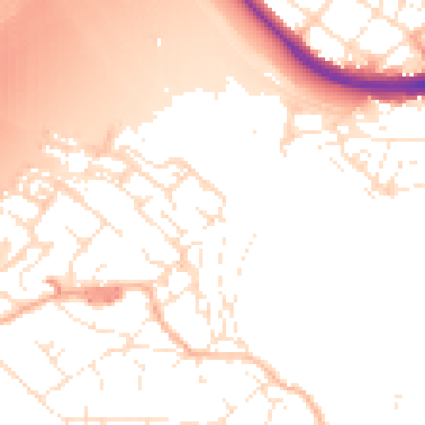
planning & flood
Sold prices
similar homes nearby
Trends
the local market
Energy performance
No EPC on record
This property doesn't have an Energy Performance Certificate yet. An EPC is required to sell or let — and unlocks our automated valuation.
Planning history
Wellington House has no planning applications on record.
The full report still covers planning activity across the surrounding area.
Sales history & valuation
The latest sale landed at the peak of the pre-credit-crunch market — a high-water reference point.
£340,000
Recorded with HM Land Registry.
Sales timeline
16 February 2007Most recent
£340,000
Median price across the last 5 sales in BS20 0BG: £235,000 (2022–2003).
Everything we know about Wellington House, in one report
What it's really worth, what could be wrong, and the planning, sales and area data in full.
- Am I paying too much?
- Is something wrong with it?
- Is the agent's story true?
- Will it hold its value?

Similar properties nearby
Manchester House, Flat 1, Upper Myrtle Hill, Pill
BS20 0AW
Flat, 1 Bull Lane, Pill
BS20 0EF
The Old Chapel, Apartment 4, 2 Myrtle Hill, Pill
BS20 0FG
Flat 1, 12 Church Path Road, Pill
BS20 0EE
The Old Chapel, Apartment 1, 2 Myrtle Hill, Pill
BS20 0FG
The Old Chapel, Apartment 2, 2 Myrtle Hill, Pill
BS20 0FG
Prospect House, Flat, Lower Myrtle Hill, Pill
BS20 0BQ
Garden Flat, 8 New Road, Pill
BS20 0AD
The neighbourhood at a glance
Rail-style transport is unusually close for this postcode.
Crime
5/mo
Steady year-on-year across the wider district.
Nearest stop
0.3 km
Station Road — bus stop.
Closest school
0.7 km
Crockerne Church of England Primary School. 11 schools nearby.
Go deeper on the local area
The full report breaks down crime, transport links, schools and air quality in depth.
Road noise across the postcode
Daytime· 07:00 – 23:00
53.3dB

Night-time· 23:00 – 07:00
44.0dB