16 Ashby Close, West Wickham, BR4 9FJ
About 16 Ashby Close
16 Ashby Close is an end-of-terrace house in West Wickham (BR4 9FJ). It has a recorded floor area of 56 m² (around 602 sq ft) and council tax band D. The latest certificate (June 2010) shows a C (score 76), near the top of the C band. Main heating runs on electricity: electricity, unspecified tariff. The latest certificate is from June 2010, so improvements made since then won't be reflected.
Across 2010–2016, sale prices on this property compounded at 3.9% per year. On a £-per-square-foot basis, the last sale (£556/sq ft) was about 15.2% above the typical sold price in the postcode. On the market in January 2016 and unlisted since — roughly 10 years.
Know exactly what you're buying at 16 Ashby Close
Before you offer, see what the listing won't tell you, the true value, the red flags and the full history.
Valuation
against the asking price
Risks
planning & flood
Sold prices
similar homes nearby
Trends
the local market
Energy performance
16 Ashby Close's carbon output is low for the local stock.
EPC Expired
This certificate is over 10 years old and is no longer valid.Expired 20 Jun 2020
EPC Rating
Planning history
16 Ashby Close has no planning applications on record.
Notable planning nearby
1applications of note in the surrounding area
Sales history & valuation
£364,000
Modelled from EPC, postcode comparables and a sale-price growth of 3.9% per year over 5 years.
£335,000
Growth on file: 3.9% per year over 5 years.
Sales timeline
18 January 2016Most recent
£335,000
+21.8%over 5 years3 December 2010
£275,000
Median price across the last 5 sales in BR4 9FJ: £335,000 (2024–2017).
Nearby sales in BR4 9FJ
Everything we know about 16 Ashby Close, in one report
What it's really worth, what could be wrong, and the planning, sales and area data in full.
- Am I paying too much?
- Is something wrong with it?
- Is the agent's story true?
- Will it hold its value?

Versus other Ashby Close homes
On floor area, 16 Ashby Close runs well behind the street norm.
Price per m²
£5,989
Street avg £5,907
Floor Area
56 m²
Street avg 57 m²
CO₂ Emissions
1.3 t/year
Street avg 1.4 t/year
Years Held
10 years
Street avg 7 years
Similar properties nearby
The neighbourhood at a glance
Crime
3/mo
Steady year-on-year across the wider district.
Nearest stop
0.2 km
Courtfield Rise — bus stop.
Closest school
0.6 km
Hawes Down Primary School. 23 schools nearby.
Go deeper on the local area
The full report breaks down crime, transport links, schools and air quality in depth.
Road noise across the postcode
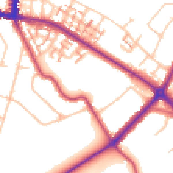
Daytime· 07:00 – 23:00
53.7dB

Night-time· 23:00 – 07:00
43.9dB