1 Hassocks Road, Hurstpierpoint, Hassocks, BN6 9QH
About 1 Hassocks Road
1 Hassocks Road is a property in Hurstpierpoint, Hassocks, Hassocks (BN6 9QH). It has council tax band E.
One historical planning record sits against the property in 2015.
Energy performance
No EPC on record
This property doesn't have an Energy Performance Certificate yet. An EPC is required to sell or let — and unlocks our automated valuation.
Planning history
- Aug 2015ConditionsIn report
Discharge of planning condition number 3 relating to planning application 12/01984/FUL.
- Documents
- 3 docs on file
- Reference
- DM/15/2729
Sales history & valuation
No sales recorded with HM Land Registry
That can mean the property has never traded since the registry began publishing in 1995, was a new build that hasn't been registered yet, or is held in the same hands long-term.
Median price across the last 5 sales in BN6 9QH: £325,000 (2025–2023).
Nearby sales in BN6 9QH
Kent Lodge, Hassocks Road, Hurstpierpoint, Hassocks, BN6 9QH
Sold May 2025
£800,000St Georges House, Flat 12, Hassocks Road, Hurstpierpoint, Hassocks, BN6 9QH
Sold Apr 2025
£215,000St Georges House, Flat 7, Hassocks Road, Hurstpierpoint, Hassocks, BN6 9QH
Sold Oct 2024
£250,000St Georges House, Flat 15, Hassocks Road, Hurstpierpoint, Hassocks, BN6 9QH
Sold Apr 2023
£325,000St Georges House, Flat 16, Hassocks Road, Hurstpierpoint, Hassocks, BN6 9QH
Sold Sept 2022
£320,000
Similar properties nearby
1 Blackthorns, Hurstpierpoint
BN6 9TF
1 Butts Cottages, London Road, Albourne
BN6 9BW
1 Council Cottages, Henfield Road, Albourne
BN6 9DS
1 Chalkers Lane, Hurstpierpoint
BN6 9FL
1 Carnoustie Drive
BN6 9PB
1 Brewery Mews, Hurstpierpoint
BN6 9RX
1 Bullfinch Lane Cottages, Bullfinch Lane, Hurstpierpoint
BN6 9ER
1 Brown Twins Road, Hurstpierpoint
BN6 9XT
The neighbourhood at a glance
Daytime road noise here sits well below conversation level — a quiet pocket of the postcode.
Crime
1/mo
Steady year-on-year across the wider district.
Nearest stop
0.1 km
St Georges Lane — bus stop.
Closest school
0.6 km
St Lawrence CofE Primary School. 5 schools nearby.
Road noise across the postcode
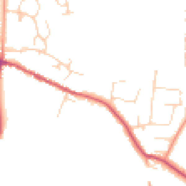
Daytime· 07:00 – 23:00
45.4dB

Night-time· 23:00 – 07:00
37.9dB