28 Carnoustie Drive, Hassocks, BN6 9PB
About 28 Carnoustie Drive
28 Carnoustie Drive is a detached house in Hassocks (BN6 9PB). It has a recorded floor area of 156 m² (around 1679 sq ft) and construction records dating it to 2023. The latest certificate (July 2023) returns a high B (score 85), putting the home a stone's throw from an A rating. The recommended improvements would push it to A (score 107).
At 156 m² the property is well over the postcode median (97 m² across 19 EPCs), placing it in the larger end of the local stock. Last sale on file: £750,000 in July 2023.
Know exactly what you're buying at 28 Carnoustie Drive
Before you offer, see what the listing won't tell you, the true value, the red flags and the full history.
Already flagged here
Launch offer · save £5
Valuation
against the asking price
Risks
planning & flood
Sold prices
similar homes nearby
Trends
the local market
Energy performance
EPC Rating
Planning history
28 Carnoustie Drive has no planning applications on record.
Notable planning nearby
11applications of note in the surrounding area
We flagged 1 thing worth checking at 28 Carnoustie Drive
Independent checks surfaced things a buyer would want to understand before offering. The report explains each one in full, with the underlying data and what to ask.
- Larger development activity nearby
30-day money-back guarantee
Sales history & valuation
Latest sale on 28 Carnoustie Drive was the highest on Land Registry record across the postcode.
£801,000
Modelled from EPC, postcode comparables.
£750,000
Recorded with HM Land Registry.
Sales timeline
30 July 2023Most recent
£750,000
Median price across the last 5 sales in BN6 9PB: £525,000 (2023–2022).
Nearby sales in BN6 9PB
Everything we know about 28 Carnoustie Drive, in one report
What it's really worth, what could be wrong, and the planning, sales and area data in full.
What we flagged
- Larger development activity nearby

Versus other Carnoustie Drive homes
28 Carnoustie Drive is notably below the street on co₂ emissions.
Price per m²
£4,808
Street avg £4,945
Floor Area
156 m²
Street avg 106 m²
CO₂ Emissions
2.1 t/year
Street avg 1.5 t/year
Years Held
3 years
Street avg 4 years
Similar properties nearby
1 Blossomwell, Langton Lane, Hurstpierpoint
BN6 9EY
1 College Lane, Hurstpierpoint
BN6 9AB
1 Cherrington Close, Hurstpierpoint
BN6 9AY
1 Albourne Place Farm Cottage, Shaves Wood Lane, Albourne
BN6 9DX
1 Chestnut Grove, Hurstpierpoint
BN6 9SS
1 Bignall Grove, Hurstpierpoint
BN6 9YN
1 Campion Close
BN6 9ZR
1 Cottage Homes, Truslers Hill Lane, Albourne
BN6 9JL
The neighbourhood at a glance
Rail-style transport is unusually close for this postcode.
Crime
1/mo
Steady year-on-year across the wider district.
Nearest stop
0.2 km
Friars Oak — bus stop.
Closest school
1.1 km
Hassocks Infant School. 10 schools nearby.
Go deeper on the local area
The full report breaks down crime, transport links, schools and air quality in depth.
Road noise across the postcode
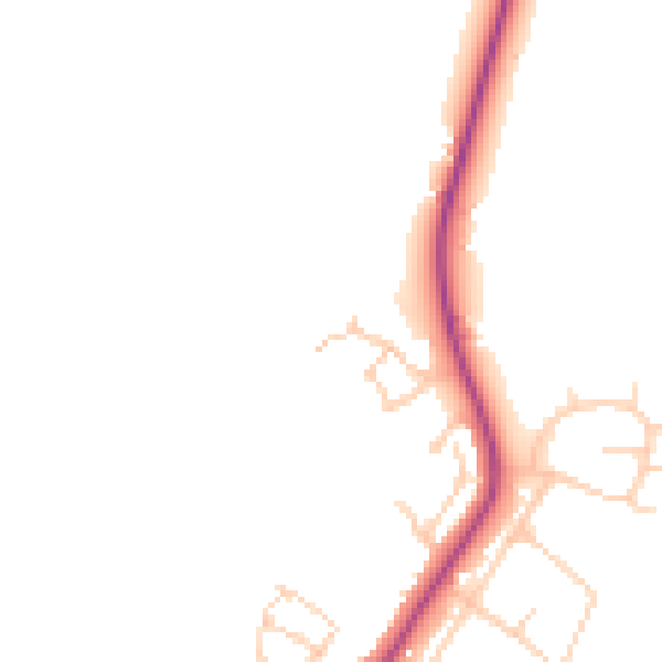
Daytime· 07:00 – 23:00
45.4dB

Night-time· 23:00 – 07:00
39.1dB