8 The Quadrant, Hassocks, BN6 8BP
About 8 The Quadrant
8 The Quadrant is a four-bedroom detached house in Hassocks (BN6 8BP). It has a recorded floor area of 104 m² (around 1119 sq ft), construction records dating it to 1967-1975 and council tax band D. The latest certificate (January 2022) shows a C (score 69), just inside the C band. When first surveyed in October 2014 the rating was D, the property has climbed 1 band since. Between certificates, roof efficiency went from Very Poor to Good; while wall efficiency dropped from Good to Average and window efficiency dropped from Good to Average. The recommended improvements would push it to B (score 82). Records show the property has been extended at some point in its history.
At 104 m² it's 23.8% larger than the typical home in the postcode (84 m² median across 17 EPCs). Its energy rating outperforms most of the postcode (better than 82% of similar EPCs). Across 2007–2022, sale prices on this property compounded at 5.8% per year. Today's modelled estimate of £629,000 is 10.4% above the 2022 sale price. On a £-per-square-foot basis, the last sale (£509/sq ft) was about 74.6% above the typical sold price in the postcode. 2 planning records sit against the property, 0 approved, 0 refused. Last sale on file: £570,000 in May 2022. That sale was during the post-pandemic price surge, when transactions cleared materially above pre-2020 trend.
Know exactly what you're buying at 8 The Quadrant
Before you offer, see what the listing won't tell you, the true value, the red flags and the full history.
Already flagged here
Launch offer · save £5
Valuation
against the asking price
Risks
planning & flood
Sold prices
similar homes nearby
Trends
the local market
What this property has
Inside
- Bedrooms4
- Bathrooms2
- Open-plan layoutYes
Outside
- Parkingoff_street
Building
- Previously extendedYes
Energy performance
EPC Rating
Property Improvements
Changes detected from historical EPC data
Loft insulation installed or upgraded to 250mm+
Planning history
- Aug 2010ExtensionFullIn report
Extension: Single storey
Roof extension to form first floor accomodation under hipped pitched roof, and ground floor lounge extension.
- Agent
- Caldotec Ltd
- Documents
- 7 docs on file
- Reference
- 10/01739/FUL
- Apr 2010Loft ConversionFullIn report
Extension: Rear of property
Loft conversion and rear extension.
Extension- Documents
- 8 docs on file
- Reference
- 10/00495/FUL
We flagged 1 thing worth checking at 8 The Quadrant
Independent checks surfaced things a buyer would want to understand before offering. The report explains each one in full, with the underlying data and what to ask.
- Larger development activity nearby
30-day money-back guarantee
Sales history & valuation
Latest sale on 8 The Quadrant was the highest on Land Registry record across the postcode.
£629,000
Modelled from EPC, postcode comparables and a sale-price growth of 5.8% per year over 15 years.
£570,000
Growth on file: 5.8% per year over 15 years.
Sales timeline
25 May 2022Most recent
£570,000
+128.0%over 14 years11 October 2007
£249,999
Median price across the last 5 sales in BN6 8BP: £485,000 (2023–2019).
Nearby sales in BN6 8BP
Everything we know about 8 The Quadrant, in one report
What it's really worth, what could be wrong, and the planning, sales and area data in full.
What we flagged
- Larger development activity nearby

Versus other The Quadrant homes
On epc rating, 8 The Quadrant stands well clear of the street.
Price per m²
£5,481
Street avg £4,479
Floor Area
104 m²
Street avg 84 m²
Habitable Rooms
5 rooms
Street avg 5 rooms
CO₂ Emissions
3.7 t/year
Street avg 3.6 t/year
Similar properties nearby
1 Birch Way
BN6 8YJ
1 Clayton Avenue
BN6 8HB
1 Blackbrook Farm Cottages, Spatham Lane, Ditchling
BN6 8XJ
1 Church Cottages, The Street, Westmeston
BN6 8RJ
1 Charlton Gardens, Lewes Road, Ditchling
BN6 8WA
1 Clayton Park
BN6 8JQ
1 Abbots Close
BN6 8PH
1 Chestnut Drive
BN6 8AZ
The neighbourhood at a glance
Rail-style transport is unusually close for this postcode.
Crime
1/mo
Steady year-on-year across the wider district.
Nearest stop
0.1 km
Flowers Close — bus stop.
Closest school
0.5 km
The Windmills Junior School. 6 schools nearby.
Go deeper on the local area
The full report breaks down crime, transport links, schools and air quality in depth.
Road noise across the postcode
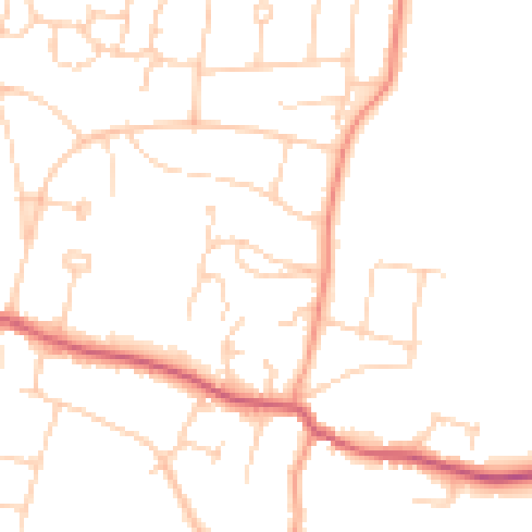
Daytime· 07:00 – 23:00
48.0dB

Night-time· 23:00 – 07:00
38.6dB