85 St Andrews Road, Portslade, Brighton, BN41 1DD
About 85 St Andrews Road
85 St Andrews Road is a three-bedroom end-of-terrace house in Portslade, Brighton, Brighton (BN41 1DD). It has a recorded floor area of 106 m² (around 1141 sq ft), construction records dating it to 1900-1929 and council tax band D. The latest certificate (November 2022) shows a C (score 69), just inside the C band. When first surveyed in November 2008 the rating was E, the property has climbed 2 bands since. Between certificates, wall efficiency went from Very Poor to Average, roof efficiency went from Average to Good and lighting went from Very Poor to Very Good; while hot-water efficiency dropped from Very Good to Good and main heating dropped from Very Good to Good. The recommended improvements would push it to B (score 81). Other recorded features include a loft.
Its energy rating outperforms most of the postcode (better than 81% of similar EPCs). Across 1996–2023, sale prices on this property compounded at 8.6% per year. On a £-per-square-foot basis, the last sale (£478/sq ft) was about 67.8% above the typical sold price in the postcode. Most recent transfer: August 2023 at £545,000.
Know exactly what you're buying at 85 St Andrews Road
Before you offer, see what the listing won't tell you, the true value, the red flags and the full history.
Already flagged here
Valuation
against the asking price
Risks
planning & flood
Sold prices
similar homes nearby
Trends
the local market
What this property has
Inside
- Bedrooms3
- Bathrooms2
- Dining roomYes
- LoftYes
Outside
- Private gardenSouth-facing
Energy performance
EPC Rating
Property Improvements
Changes detected from historical EPC data
Hot water efficiency decreased
Cavity wall insulation installed
Loft insulation upgraded to recommended levels
Floor insulation added or improved
More low energy lighting installed
Planning history
85 St Andrews Road has no planning applications on record.
Notable planning nearby
7applications of note in the surrounding area
We flagged 2 things worth checking at 85 St Andrews Road
Independent checks surfaced things a buyer would want to understand before offering. The report explains each one in full, with the underlying data and what to ask.
- Signs of HMO activity in the area
- Larger development activity nearby
30-day money-back guarantee
Sales history & valuation
85 St Andrews Road has more than quadrupled in price since its earliest registered sale in 1996.
£567,000
Modelled from EPC, postcode comparables and a sale-price growth of 8.6% per year over 27 years.
£545,000
Growth on file: 8.6% per year over 27 years.
Sales timeline
17 August 2023Most recent
£545,000
+94.3%over 13 years17 September 2009
£280,500
+371.4%over 12 years15 November 1996
£59,500
Median price across the last 5 sales in BN41 1DD: £665,000 (2024–2022).
Nearby sales in BN41 1DD
111 St Andrews Road, Portslade, Brighton, BN41 1DD
Sold Mar 2024
£420,00079 St Andrews Road, Portslade, Brighton, BN41 1DD
Sold Dec 2023
£670,00071 St Andrews Road, Portslade, Brighton, BN41 1DD
Sold Mar 2023
£667,50073 St Andrews Road, Portslade, Brighton, BN41 1DD
Sold Oct 2022
£665,00081 St Andrews Road, Portslade, Brighton, BN41 1DD
Sold Jun 2021
£625,000
Everything we know about 85 St Andrews Road, in one report
What it's really worth, what could be wrong, and the planning, sales and area data in full.
What we flagged
- Signs of HMO activity in the area
- Larger development activity nearby

Versus other St Andrews Road homes
CO₂ Emissions for 85 St Andrews Road runs comfortably ahead of the street norm.
Price per m²
£5,142
Street avg £4,136
Floor Area
106 m²
Street avg 115 m²
Habitable Rooms
5 rooms
Street avg 6 rooms
CO₂ Emissions
3.8 t/year
Street avg 5.2 t/year
Similar properties nearby
1 Links Road, Portslade
BN41 1XH
1 Elm Road, Portslade
BN41 1SA
1 Hurst Crescent, Portslade
BN41 1SG
1 Bampfield Street, Portslade
BN41 1SE
1 Rothbury Mews, Franklin Road, Portslade
BN41 1AU
1 Gardner Road, Portslade
BN41 1PN
1 Gardener Street, Portslade
BN41 1SX
1 Brambledean Road, Portslade
BN41 1LP
The neighbourhood at a glance
Rail-style transport is unusually close for this postcode.
Crime
4/mo
Steady year-on-year across the wider district.
Nearest stop
0.0 km
Albion Street — bus stop.
Closest school
0.1 km
St Mary's Catholic Primary School. 22 schools nearby.
Go deeper on the local area
The full report breaks down crime, transport links, schools and air quality in depth.
Road noise across the postcode
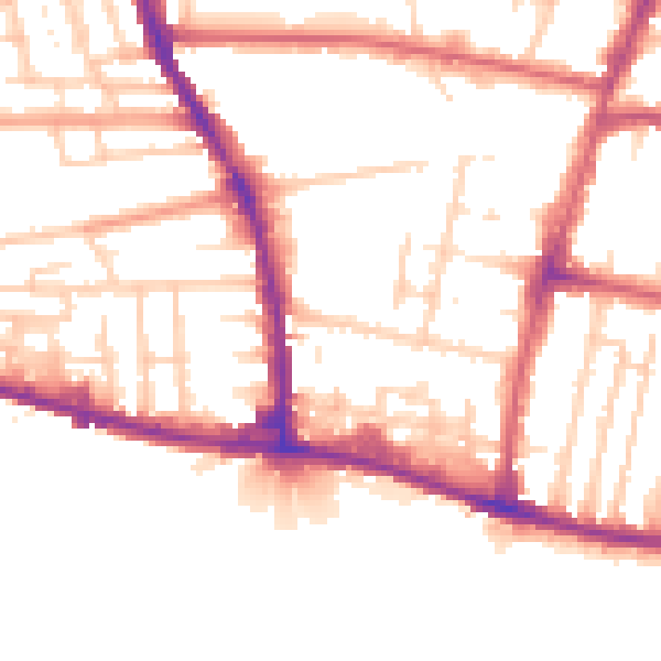
Daytime· 07:00 – 23:00
52.6dB

Night-time· 23:00 – 07:00
44.0dB