25 Adversane Road, Worthing, BN14 7QJ
About 25 Adversane Road
25 Adversane Road is a three-bedroom semi-detached house in Worthing (BN14 7QJ). It has a recorded floor area of 91 m² (around 979 sq ft), construction records dating it to 1950-1966 and council tax band D. The latest certificate (September 2010) shows a D (score 67), on the cusp of jumping into the C band. The recommended improvements would push it to C (score 70). The latest certificate is from September 2010, so improvements made since then won't be reflected.
Untraded for 15 years, with the last transfer in January 2011. Today's modelled estimate of £396,000 sits 61.6% above the 2011 sale of £245,000. On a £-per-square-foot basis, the last sale (£250/sq ft) was about 15.4% above the typical sold price in the postcode. 2 planning records sit against the property, 2 approved, 0 refused. Past consents include an extension and partial demolition, meaningful when judging how the property has evolved. At 91 m² it's 22.5% smaller than the typical home in the postcode (117 m² median across 10 EPCs).
What this property has
Inside
- Bedrooms3
- Dining roomYes
- CloakroomYes
Outside
- GarageYes
Building
- Heating systemGas
Everything you need to know about 25 Adversane Road
The true value, the hidden risks and the full sale history, in one report.
Pick your report · every report is £14.99
One time fee only - money back guarantee

The data behind every report


Energy performance
25 Adversane Road's EPC is over a decade old — improvements since won't be reflected.
EPC Expired
This certificate is over 10 years old and is no longer valid.Expired 16 Sept 2020
EPC Rating
Get a survey for this property
Level 2 HomeBuyer Report
We've checked 10 risk factors against the available data for this property and believe a Level 2 HomeBuyer Report could be a suitable option for you.
From £595 · Includes VAT
Planning history
Planning history includes recorded demolition works, indicating a major rebuild phase at this address.
2 applications on record at 25 Adversane Road, Worthing, BN14 7QJ
- Jun 2018DemolitionFullOutcome in report
Extension: Single storey · Rear of property
Demolition of existing rear lean-to and utility room and construction of single-storey rear extension and side/rear attached garage.
Extension- Documents
- 11 docs on file
- Reference
- AWDM/0578/18
- More recent applications — locked
- OutlineJun 2018Decision
Unlock 25 Adversane Road, Worthing, BN14 7QJ's full planning history
You're seeing the shape of it. The report has the substance.
- Every decision — granted, refused or withdrawn (2 on record)
- All 2 applications on this property in full, plus 3 notable nearby
- The 20 documents, officer reports & conditions
- What the pattern means for extending or converting here
One time fee only - money back guarantee
Sales history & valuation
25 Adversane Road valuation sits well clear of the typical sold price in this postcode.
£396,000
Modelled from EPC, postcode comparables.
£245,000
Recorded with HM Land Registry.
Sales timeline
21 January 2011Most recent
£245,000
Median price across the last 5 sales in BN14 7QJ: £384,000 (2022–2014).
Nearby sales in BN14 7QJ
Versus other Adversane Road homes
25 Adversane Road is notably below the street on floor area.
Price per m²
£2,695
Street avg £2,931
Floor Area
91 m²
Street avg 119 m²
Habitable Rooms
5 rooms
Street avg 5 rooms
CO₂ Emissions
3.8 t/year
Street avg 4.6 t/year
Everything you need to know about 25 Adversane Road
The true value, the hidden risks and the full sale history, in one report.
Pick your report · every report is £14.99
One time fee only - money back guarantee
The data behind every report
Similar properties nearby
1 Athelstan Road
BN14 7NA
1 Glebeside Avenue
BN14 7PR
1 Alfriston Road
BN14 7QU
1 Alfriston Close
BN14 7QT
1 Beech Gardens, Bulkington Avenue
BN14 7HL
1 Gaisford Close
BN14 7HU
1 Broomfield Avenue
BN14 7RY
1 Brockley Close
BN14 7AW
The neighbourhood at a glance
Rail-style transport is unusually close for this postcode.
Crime
3/mo
Steady year-on-year across the wider district.
Nearest stop
0.1 km
Galsford Road — bus stop.
Closest school
0.3 km
Worthing High School. 26 schools nearby.
Go deeper on the local area
A Local Area report breaks down crime, transport links, schools and air quality in depth.
Road noise across the postcode
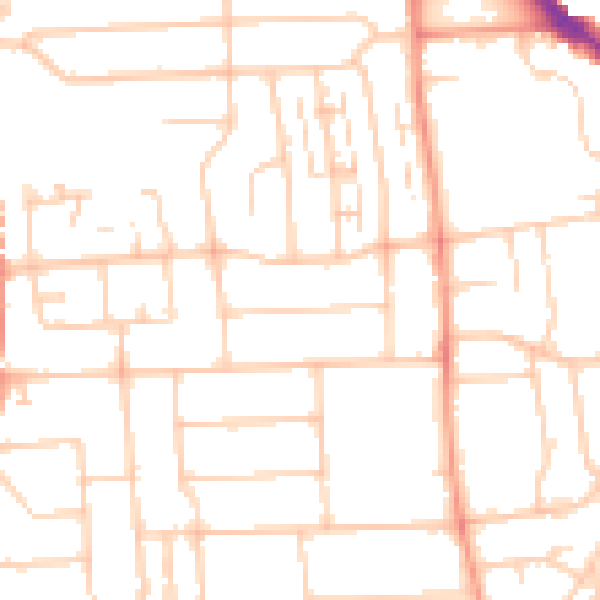
Daytime· 07:00 – 23:00
49.5dB

Night-time· 23:00 – 07:00
38.6dB