24 Ethelwulf Road, Worthing, BN14 7NF
About 24 Ethelwulf Road
24 Ethelwulf Road is a three-bedroom semi-detached house in Worthing (BN14 7NF). It has a recorded floor area of 123 m² (around 1324 sq ft), construction records dating it to 1930-1949 and council tax band E. The latest certificate (July 2026) shows a D (score 64), on the cusp of jumping into the C band. When first surveyed in February 2023 the rating was E, the property has climbed 1 band since. Between certificates, roof efficiency went from Average to Good, hot-water efficiency went from Very Poor to Good and main heating went from Average to Good; while lighting dropped from Very Good to Good. The recommended improvements would push it to C (score 76). This certificate was lodged in the last six months, so the rating reflects current condition.
At 123 m² the property is well over the postcode median (66 m² across 23 EPCs), placing it in the larger end of the local stock. Today's modelled estimate of £563,000 is 18.5% above the 2023 sale price. On a £-per-square-foot basis, the last sale (£359/sq ft) was about 91.8% above the typical sold price in the postcode. 4 planning records sit against the property, 4 approved, 0 refused. Most recent transfer: April 2023 at £475,000.
What this property has
Inside
- Bedrooms3
- Bathrooms1
- Open-plan layoutYes
- Dining roomYes
- CloakroomYes
Outside
- Private gardenWest-facing
- ParkingOff road
Building
- Heating systemGas fired
- RefurbishedYes
Everything you need to know about 24 Ethelwulf Road
The true value, the hidden risks and the full sale history, in one report.
Pick your report · from £14.99
One time fee only - money back guarantee

The data behind every report







Energy performance
The EPC has just been inspected, so the rating reflects current condition.
EPC Rating
Certificate validity
Valid until 20 July 2036
Property Improvements
Changes detected from historical EPC data
Replaced storage heaters with gas boiler
Connected to mains gas supply
Heating controls upgraded for better temperature management
Hot water system upgraded
High performance glazing installed
Loft insulation upgraded to recommended levels

Get a survey for this property
Level 2 HomeBuyer Report
We've checked 10 risk factors against the available data for this property and believe a Level 2 HomeBuyer Report could be a suitable option for you.
From £795 · Includes VAT
Planning history
24 Ethelwulf Road has been through 4 approved planning applications — a well-evolved property.
4 applications on record at 24 Ethelwulf Road, Worthing, BN14 7NF
- Apr 2024New BuildFullOutcome in report
Proposed development consisting of one new dwelling at Land Adjacent to 24 Ethelwulf Road and relocation of dropped kerb access for 2no. new parking bays on site of existing property.
- Documents
- 35 docs on file
- Reference
- AWDM/1110/23
- More recent applications — locked
- ConditionsJun 2025Decision
- AmendmentFeb 2025Decision
+ 1 more application in the report
Unlock 24 Ethelwulf Road, Worthing, BN14 7NF's full planning history
You're seeing the shape of it. The report has the substance.
- Every decision — granted, refused or withdrawn (4 on record)
- All 4 applications on this property in full, plus 3 notable nearby
- The 69 documents, officer reports & conditions
- What the pattern means for extending or converting here
One time fee only - money back guarantee
Sales history & valuation
Latest sale on 24 Ethelwulf Road was the highest on Land Registry record across the postcode.
£563,000
Modelled from EPC, postcode comparables.
£475,000
Recorded with HM Land Registry.
Sales timeline
26 April 2023Most recent
£475,000
Median price across the last 5 sales in BN14 7NF: £385,000 (2024–2018).
Nearby sales in BN14 7NF
Versus other Ethelwulf Road homes
Floor Area for 24 Ethelwulf Road runs comfortably ahead of the street norm.
Price per m²
£3,862
Street avg £3,217
Floor Area
123 m²
Street avg 97 m²
Habitable Rooms
5 rooms
Street avg 5 rooms
CO₂ Emissions
4.7 t/year
Street avg 4.2 t/year
Everything you need to know about 24 Ethelwulf Road
The true value, the hidden risks and the full sale history, in one report.
Pick your report · from £14.99
One time fee only - money back guarantee
The data behind every report
Similar properties nearby
1 Glebeside Avenue
BN14 7PR
1 Athelstan Road
BN14 7NA
1 Broomfield Avenue
BN14 7RY
1 Adversane Road
BN14 7QJ
1 Gaisford Road
BN14 7HN
1 Alfriston Close
BN14 7QT
1 Alfriston Road
BN14 7QU
1 Beech Gardens, Bulkington Avenue
BN14 7HL
The neighbourhood at a glance
Rail-style transport is unusually close for this postcode.
Crime
141/mo
Rising year-on-year across the wider district.
Nearest stop
0.1 km
Parkfield Road — bus stop.
Closest school
0.6 km
Thomas A Becket Infant School. 26 schools nearby.
Go deeper on the local area
A Local Area report breaks down crime, transport links, schools and air quality in depth.
Road noise across the postcode
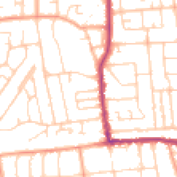
Daytime· 07:00 – 23:00
50.7dB
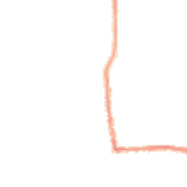
Night-time· 23:00 – 07:00
39.8dB