45 Lime Tree Avenue, Worthing, BN14 0DJ
About 45 Lime Tree Avenue
45 Lime Tree Avenue is a five-bedroom detached house in Worthing (BN14 0DJ). It has a recorded floor area of 124 m² (around 1338 sq ft), construction records dating it to 1950-1966 and council tax band E. The latest certificate (April 2009) shows a C (score 69), just inside the C band. The latest certificate is from April 2009, so improvements made since then won't be reflected.
Untraded for 17 years, with the last transfer in August 2009. That sale fell during the post-crash dip, which often skews comparisons against later neighbouring sales. Today's modelled estimate of £664,000 sits 56.2% above the 2009 sale of £425,000. On a £-per-square-foot basis, the last sale (£318/sq ft) was about 45.9% above the typical sold price in the postcode. 2 planning records sit against the property, 1 approved, 1 refused. Past consents include an extension, meaningful when judging how the property has evolved.
What this property has
Inside
- Bedrooms5
- Dining roomYes
- Utility roomYes
Outside
- Private gardenWest-facing
Everything you need to know about 45 Lime Tree Avenue
The true value, the hidden risks and the full sale history, in one report.
Pick your report · every report is £14.99
One time fee only - money back guarantee

The data behind every report


Energy performance
45 Lime Tree Avenue's EPC is over a decade old — improvements since won't be reflected.
EPC Expired
This certificate is over 10 years old and is no longer valid.Expired 26 Apr 2019
EPC Rating
Get a survey for this property
Level 2 HomeBuyer Report
We've checked 10 risk factors against the available data for this property and believe a Level 2 HomeBuyer Report could be a suitable option for you.
From £895 · Includes VAT
Planning history
2 applications on record at 45 Lime Tree Avenue, Worthing, BN14 0DJ
- Dec 2007Loft ConversionFullOutcome in report
Conversion of bungalow to 'chalet' style bungalow including front and rear extensions, new roof structure to form roof-space accommodation comprising 3 bedrooms (1 en-suite) and bathroom. Dormer window and 2 rooflights to front (east) elevation.
Extension- Documents
- 1 doc on file
- Reference
- 07/1260/FULL
- More recent applications — locked
- ExtensionFeb 2008Decision
Unlock 45 Lime Tree Avenue, Worthing, BN14 0DJ's full planning history
You're seeing the shape of it. The report has the substance.
- Every decision — granted, refused or withdrawn (2 on record)
- All 2 applications on this property in full
- The 2 documents, officer reports & conditions
- What the pattern means for extending or converting here
One time fee only - money back guarantee
Sales history & valuation
The latest sale fell during the post-2008 dip, often a low-water mark in price comparisons.
£664,000
Modelled from EPC, postcode comparables.
£425,000
Recorded with HM Land Registry.
Sales timeline
19 August 2009Most recent
£425,000
Median price across the last 5 sales in BN14 0DJ: £422,000 (2024–2008).
Nearby sales in BN14 0DJ
29 Lime Tree Avenue, Worthing, BN14 0DJ
Sold Apr 2024
£715,00035 Lime Tree Avenue, Worthing, BN14 0DJ
Sold Jun 2021
£575,00023 Lime Tree Avenue, Worthing, BN14 0DJ
Sold Aug 2013
£405,00037 Lime Tree Avenue, Worthing, BN14 0DJ
Sold Sept 2011
£422,00047 Lime Tree Avenue, Worthing, BN14 0DJ
Sold Jan 2007
£325,000
Versus other Lime Tree Avenue homes
Years Held for 45 Lime Tree Avenue runs comfortably ahead of the street norm.
Price per m²
£3,419
Street avg £3,932
Floor Area
124 m²
Street avg 140 m²
Habitable Rooms
7 rooms
Street avg 6 rooms
CO₂ Emissions
5.6 t/year
Street avg 4.8 t/year
Everything you need to know about 45 Lime Tree Avenue
The true value, the hidden risks and the full sale history, in one report.
Pick your report · every report is £14.99
One time fee only - money back guarantee
The data behind every report
Similar properties nearby
1 Cissbury Avenue
BN14 0DN
1 Coombe Rise
BN14 0ED
1 Aldwick Crescent
BN14 0AR
1 Elder Cottage, Nepcote, Findon
BN14 0SD
1 Elm Rise, Findon
BN14 0UP
1 Greatham Road
BN14 0BE
1 Convent Gardens, Findon
BN14 0RZ
1 Cissbury Gardens
BN14 0DX
The neighbourhood at a glance
Daytime road noise here sits well below conversation level — a quiet pocket of the postcode.
Crime
3/mo
Steady year-on-year across the wider district.
Nearest stop
0.2 km
Hillview Rise — bus stop.
Closest school
0.4 km
Vale School, Worthing. 10 schools nearby.
Go deeper on the local area
A Local Area report breaks down crime, transport links, schools and air quality in depth.
Road noise across the postcode
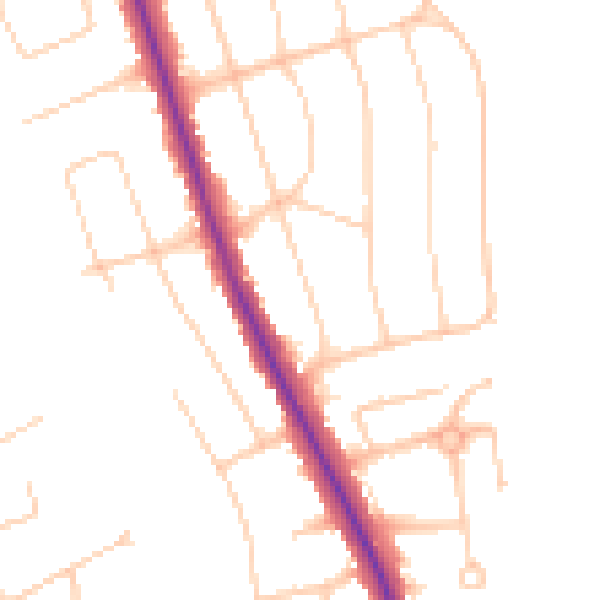
Daytime· 07:00 – 23:00
49.2dB

Night-time· 23:00 – 07:00
40.4dB