7a, Barlow Close, Bury, BL9 6WF
About 7a
7a is a semi-detached house in Bury (BL9 6WF). It has a recorded floor area of 69 m² (around 746 sq ft), construction records dating it to 2003-2006 and council tax band B. The latest certificate (January 2011) shows a C (score 75), near the top of the C band. The latest certificate is from January 2011, so improvements made since then won't be reflected.
Untraded for 19 years, with the last transfer in December 2006. At 69 m² it's 18.5% smaller than the typical home in the postcode (85 m² median across 26 EPCs). Today's modelled estimate of £204,000 is 33.8% above the 2006 sale price.
Know exactly what you're buying at 7a
Before you offer, see what the listing won't tell you, the true value, the red flags and the full history.
Already flagged here
Valuation
against the asking price
Risks
planning & flood
Sold prices
similar homes nearby
Trends
the local market
Energy performance
7a's EPC is over a decade old — improvements since won't be reflected.
EPC Expired
This certificate is over 10 years old and is no longer valid.Expired 17 Jan 2021
EPC Rating
Planning history
7a has no planning applications on record.
Notable planning nearby
10applications of note in the surrounding area
We flagged 2 things worth checking at 7a
Independent checks surfaced things a buyer would want to understand before offering. The report explains each one in full, with the underlying data and what to ask.
- Signs of HMO activity in the area
- Larger development activity nearby
30-day money-back guarantee
Sales history & valuation
£204,000
Modelled from EPC, postcode comparables.
£152,500
Recorded with HM Land Registry.
Sales timeline
15 December 2006Most recent
£152,500
Median price across the last 5 sales in BL9 6WF: £225,000 (2025–2023).
Everything we know about 7a, in one report
What it's really worth, what could be wrong, and the planning, sales and area data in full.
What we flagged
- Signs of HMO activity in the area
- Larger development activity nearby

Versus other Barlow Close homes
Floor Area for 7a lags the street by a wide margin.
Price per m²
£2,202
Street avg £2,079
Floor Area
69 m²
Street avg 87 m²
Habitable Rooms
5 rooms
Street avg 5 rooms
CO₂ Emissions
2.1 t/year
Street avg 2.7 t/year
Similar properties nearby
The neighbourhood at a glance
Nearest stop
0.2 km
Mosley Avenue — bus stop.
Closest school
0.2 km
Chesham Primary Academy. 24 schools nearby.
Go deeper on the local area
The full report breaks down crime, transport links, schools and air quality in depth.
Road noise across the postcode
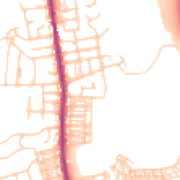
Daytime· 07:00 – 23:00
51.0dB

Night-time· 23:00 – 07:00
42.9dB