Are you a property professional?Get qualified leads from motivated homeowners.
Get started21 Newton Drive, Greenmount, Bury, BL8 4DH
1 planning record
About 21 Newton Drive
A plain-English summary derived from public records, EPC certificates, sold prices and local data.
21 Newton Drive is a detached house in Greenmount, Bury, Bury (BL8 4DH). It has a recorded floor area of 158 m² (around 1701 sq ft), construction records dating it to 1967-1975 and council tax band F. The latest certificate (July 2014) shows a D (score 66), on the cusp of jumping into the C band. The recommended improvements would lift it to B (score 83), a 2-band jump. The latest certificate is from July 2014, so improvements made since then won't be reflected.
Held since July 2006 — that's 20 years off the open market, well above the local norm. At 158 m² the property is well over the postcode median (103 m² across 22 EPCs), placing it in the larger end of the local stock. Today's modelled estimate of £546,000 sits 60.6% above the 2006 sale of £340,000. On a £-per-square-foot basis, the last sale (£200/sq ft) was about 18.8% below the postcode norm. One planning record on file: an extension approved in 2011. Past consents include an extension, meaningful when judging how the property has evolved.
Energy performance
Every EPC certificate filed against this property — current rating, recorded improvements, and where there's headroom to reach a higher band.
Recommended upgrades on file would lift this property by multiple EPC bands.
EPC Expired
This certificate is over 10 years old and is no longer valid.Expired 11 Jul 2024
Planning history
Applications and permits filed against 21 Newton Drive, Greenmount, Bury, BL8 4DH, sourced from the PlanIt planning register.
21 Newton Drive has an approved side and rear extension on the planning record.
- Jun 2011ExtensionFullApprove with Conditions
Extension: Side and rear of property
Single storey extension at rear ground floor and side extension at side and front.
Sales history & valuation
Recorded transactions, our model's current estimate, and a quick read on what neighbouring properties have sold for.
21 Newton Drive valuation sits well clear of the typical sold price in this postcode.
Current estimate
See how we calculated this£546,000
Modelled from EPC, postcode comparables.
Last sold (2006)
£340,000
Recorded with HM Land Registry.
Sales timeline
Launch offer · 33% off
Buying 21 Newton Drive, Greenmount, Bury, BL8 4DH? Know what you're getting into
Everything a buyer needs to know about this property, compiled into one in-depth report so there are no surprises after you offer.
Spot red flags before you buy
An AI-written breakdown of everything that matters
Versus other Newton Drive homes
Four headline reads against 22 similar houses on this street, drawn from the latest EPC and Land Registry data.
Price per m² for 21 Newton Drive lags the street by a wide margin.
Price per m²
£2,152
Street avg £3,036
Floor Area
158 m²
Street avg 110 m²
Habitable Rooms
7 rooms
Similar properties nearby
A handful of close matches in the same postcode area, ranked by likeness on bedrooms, type and floor area.
The neighbourhood at a glance
A condensed read of the local area. Each tile links through to the full breakdown on the Bury district page.
Crime
1/mo
Steady year-on-year across the wider district.
Nearest stop
0.2 km
Emmanuel Church Centre — bus stop.
Road noise across the postcode
Modelled day and night-time noise levels around BL8 4DH from Defra's strategic mapping. The pin marks this postcode's centroid.
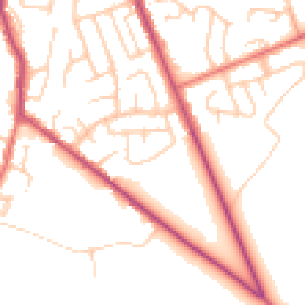
Daytime· 07:00 – 23:00
51.4dB

Everything within walking distance
Schools, transport stops and scenic spots near this property — 49 points of interest in total.
Common questions
The questions buyers, sellers and homeowners most often ask about 21 Newton Drive, Greenmount, Bury, BL8 4DH. Each answer is also embedded as structured data for search engines.
