100 Bury New Road, Breightmet, Bolton, BL2 6QB
About 100 Bury New Road
100 Bury New Road is a property in Breightmet, Bolton, Bolton (BL2 6QB). It has council tax band D.
Untraded for 17 years, with the last transfer in December 2008. That sale landed at the peak of the pre-credit-crunch market, which is a useful reference point when interpreting the price. Across 2000–2008, sale prices on this property compounded at 9.3% per year.
Everything you need to know about 100 Bury New Road
The true value, the hidden risks and the full sale history, in one report.
Pick your report · every report is £14.99
One time fee only - money back guarantee

The data behind every report


Energy performance
No EPC on record
This property doesn't have an Energy Performance Certificate yet. An EPC is required to sell or let — and unlocks our automated valuation.
Get a survey for this property
Level 2 HomeBuyer Report
We've checked 10 risk factors against the available data for this property and believe a Level 2 HomeBuyer Report could be a suitable option for you.
Planning history
100 Bury New Road has no planning applications on record.
But the area is active
5 notable applications nearby — larger schemes and conversions that could reshape the street. The report maps them all.
Sales history & valuation
100 Bury New Road has more than doubled in price since the earliest registered sale in 2000.
£155,000
Growth on file: 9.3% per year over 8 years.
Sales timeline
18 December 2008Most recent
£155,000
+106.7%over 8 years12 October 2000
£75,000
Median price across the last 1 sales in BL2 6QB: £215,000 (2019–2019).
Nearby sales in BL2 6QB
Everything you need to know about 100 Bury New Road
The true value, the hidden risks and the full sale history, in one report.
Pick your report · every report is £14.99
One time fee only - money back guarantee
The data behind every report
Similar properties nearby
The neighbourhood at a glance
Daytime road noise here sits well below conversation level — a quiet pocket of the postcode.
Crime
1/mo
Steady year-on-year across the wider district.
Nearest stop
0.1 km
Taylor's Lane — bus stop.
Closest school
0.6 km
Blackshaw Primary School. 26 schools nearby.
Go deeper on the local area
A Local Area report breaks down crime, transport links, schools and air quality in depth.
Road noise across the postcode
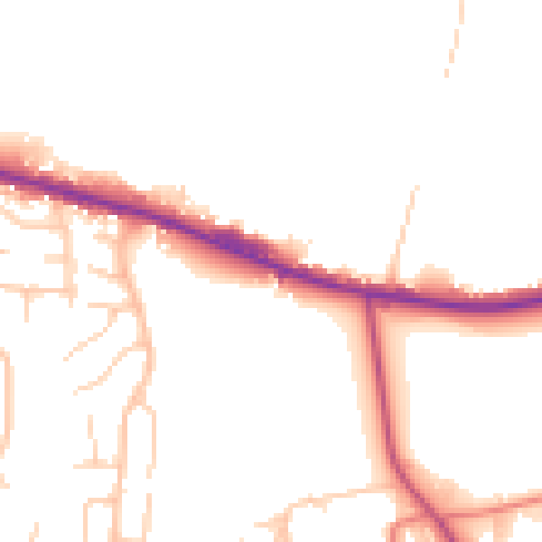
Daytime· 07:00 – 23:00
48.5dB

Night-time· 23:00 – 07:00
41.1dB