9 Boveridge Gardens, Bournemouth, BH9 3RF
About 9 Boveridge Gardens
9 Boveridge Gardens is a three-bedroom end-of-terrace house in Bournemouth (BH9 3RF). It has a recorded floor area of 97 m² (around 1044 sq ft), construction records dating it to 1976-1982 and council tax band C. The latest certificate (April 2016) shows a C (score 71). The recommended improvements would push it to B (score 88). The latest certificate is from April 2016, so improvements made since then won't be reflected.
At 97 m² the property is well over the postcode median (55 m² across 15 EPCs), placing it in the larger end of the local stock. A recent sale: £349,000 in October 2025. Across 2003–2025, sale prices on this property compounded at 5.1% per year. On a £-per-square-foot basis, the last sale (£334/sq ft) was about 38% above the typical sold price in the postcode.
What this property has
Inside
- Bedrooms3
- Bathrooms1
- Dining roomYes
- CloakroomYes
Outside
- Private gardenRear
- DrivewayYes
Building
- Heating systemGas
- RefurbishedYes
Everything you need to know about 9 Boveridge Gardens
The true value, the hidden risks and the full sale history, in one report.
Pick your report · every report is £14.99
One time fee only - money back guarantee

The data behind every report


Energy performance
EPC Expired
This certificate is over 10 years old and is no longer valid.Expired 21 Apr 2026
EPC Rating
Get a survey for this property
Level 2 HomeBuyer Report
We've checked 10 risk factors against the available data for this property and believe a Level 2 HomeBuyer Report could be a suitable option for you.
From £595 · Includes VAT
Planning history
9 Boveridge Gardens has no planning applications on record.
But the area is active
1 notable application nearby — larger schemes and conversions that could reshape the street. The report maps them all.
Sales history & valuation
Sale price has grown by over 3x since 2003.
£355,000
Modelled from EPC, postcode comparables and a sale-price growth of 5.1% per year over 22 years.
£349,000
Growth on file: 5.1% per year over 22 years.
Sales timeline
19 October 2025Most recent
£349,000
+3.7%over 1 year23 September 2024
£336,500
+192.6%over 21 years17 June 2003
£115,000
Median price across the last 5 sales in BH9 3RF: £286,000 (2025–2022).
Nearby sales in BH9 3RF
19 Boveridge Gardens, Bournemouth, BH9 3RF
Sold Jul 2025
£359,00025 Boveridge Gardens, Bournemouth, BH9 3RF
Sold May 2025
£286,00054 Boveridge Gardens, Bournemouth, BH9 3RF
Sold May 2024
£207,0007 Boveridge Gardens, Bournemouth, BH9 3RF
Sold Jun 2022
£350,00066 Boveridge Gardens, Bournemouth, BH9 3RF
Sold May 2022
£165,000
Versus other Boveridge Gardens homes
9 Boveridge Gardens is notably below the street on years held.
Price per m²
£3,598
Street avg £3,454
Floor Area
97 m²
Street avg 85 m²
Habitable Rooms
5 rooms
Street avg 5 rooms
CO₂ Emissions
3.1 t/year
Street avg 2.8 t/year
Everything you need to know about 9 Boveridge Gardens
The true value, the hidden risks and the full sale history, in one report.
Pick your report · every report is £14.99
One time fee only - money back guarantee
The data behind every report
Similar properties nearby
The neighbourhood at a glance
Daytime road noise here sits well below conversation level — a quiet pocket of the postcode.
Crime
4/mo
Steady year-on-year across the wider district.
Nearest stop
0.1 km
Epiphany School — bus stop.
Closest school
0.2 km
The Epiphany School. 18 schools nearby.
Go deeper on the local area
A Local Area report breaks down crime, transport links, schools and air quality in depth.
Road noise across the postcode
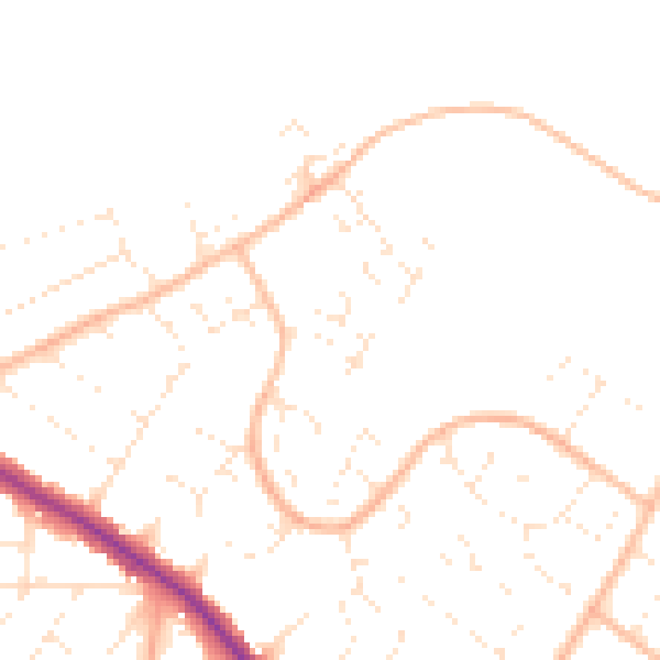
Daytime· 07:00 – 23:00
47.1dB

Night-time· 23:00 – 07:00
37.6dB