7 Lawford Road, Bournemouth, BH9 3JN
About 7 Lawford Road
7 Lawford Road is a four-bedroom detached house in Bournemouth (BH9 3JN). It has a recorded floor area of 136 m² (around 1464 sq ft), construction records dating it to 1950-1966 and council tax band C. The latest certificate (October 2022) shows a D (score 64), on the cusp of jumping into the C band. The recommended improvements would push it to C (score 76). Our model identifies extension potential, subject to local planning policy.
Today's modelled estimate of £442,000 is 19.5% above the 2022 sale price. Sold December 2022 for £370,000. That sale was during the post-pandemic price surge, when transactions cleared materially above pre-2020 trend.
What this property has
Inside
- Bedrooms4
- Bathrooms2
Outside
- GarageDouble
Building
- Heating systemGas
- RefurbishedYes
- Extension potentialPossible
Everything you need to know about 7 Lawford Road
The true value, the hidden risks and the full sale history, in one report.
Pick your report · every report is £14.99
One time fee only - money back guarantee

The data behind every report


Energy performance
EPC Rating
Get a survey for this property
Level 3 Building Survey
Because the property has been extended more than once, we believe a Level 3 building survey should be considered.
From £1,020 · Includes VAT
Planning history
7 Lawford Road has no planning applications on record.
But the area is active
1 notable application nearby — larger schemes and conversions that could reshape the street. The report maps them all.
Sales history & valuation
The latest sale landed in the post-pandemic price surge — useful context when reading the figure.
£442,000
Modelled from EPC, postcode comparables.
£370,000
Recorded with HM Land Registry.
Sales timeline
16 December 2022Most recent
£370,000
Median price across the last 5 sales in BH9 3JN: £165,000 (2020–1996).
Everything you need to know about 7 Lawford Road
The true value, the hidden risks and the full sale history, in one report.
Pick your report · every report is £14.99
One time fee only - money back guarantee
The data behind every report
Similar properties nearby
1 Colehill Crescent
BH9 3QG
1 Bradford Road
BH9 3PJ
1 Claremont Avenue
BH9 3EY
1 Bosworth Mews
BH9 3SD
1 Haverstock Road
BH9 3HQ
1 Castle Lane West
BH9 3LJ
1 Franklin Road
BH9 3AY
1 Huntvale Road
BH9 3HW
The neighbourhood at a glance
Crime
4/mo
Steady year-on-year across the wider district.
Nearest stop
0.1 km
Westover Retail Park — bus stop.
Closest school
0.7 km
The Epiphany School. 19 schools nearby.
Go deeper on the local area
A Local Area report breaks down crime, transport links, schools and air quality in depth.
Road noise across the postcode
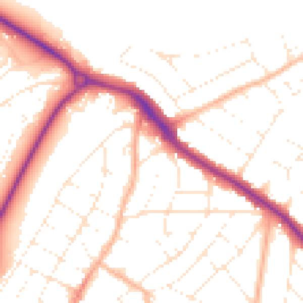
Daytime· 07:00 – 23:00
51.3dB

Night-time· 23:00 – 07:00
41.4dB