39 Huntvale Road, Bournemouth, BH9 3HW
About 39 Huntvale Road
39 Huntvale Road is a three-bedroom detached house in Bournemouth (BH9 3HW). It has a recorded floor area of 100 m² (around 1076 sq ft), construction records dating it to 1950-1966 and council tax band D. The latest certificate (September 2017) shows a D (score 63), on the cusp of jumping into the C band. The recommended improvements would lift it to B (score 83), a 2-band jump.
At 100 m² it's 23.5% larger than the typical home in the postcode (81 m² median across 11 EPCs). Across 1997–2018, sale prices on this property compounded at 7.4% per year. Today's modelled estimate of £495,000 is 26.6% above the 2018 sale price. On a £-per-square-foot basis, the last sale (£363/sq ft) was about 31% above the typical sold price in the postcode. Last changed hands 8 years ago, in January 2018.
What this property has
Inside
- Bedrooms3
- Bathrooms1
- Open-plan layoutYes
- Dining roomYes
Outside
- Private gardenYes
- GarageYes
Building
- Heating systemGas
- RefurbishedYes
Everything you need to know about 39 Huntvale Road
The true value, the hidden risks and the full sale history, in one report.
Pick your report · every report is £14.99
One time fee only - money back guarantee

The data behind every report


Energy performance
Recommended upgrades on file would lift this property by multiple EPC bands.
EPC Rating
Get a survey for this property
Level 2 HomeBuyer Report
We've checked 10 risk factors against the available data for this property and believe a Level 2 HomeBuyer Report could be a suitable option for you.
From £695 · Includes VAT
Planning history
39 Huntvale Road has no planning applications on record.
But the area is active
1 notable application nearby — larger schemes and conversions that could reshape the street. The report maps them all.
Sales history & valuation
Price for 39 Huntvale Road has grown more than fourfold since the 1997 starting point.
£495,000
Modelled from EPC, postcode comparables and a sale-price growth of 7.4% per year over 21 years.
£391,000
Growth on file: 7.4% per year over 21 years.
Sales timeline
5 January 2018Most recent
£391,000
+339.3%over 20 years9 April 1997
£89,000
Median price across the last 5 sales in BH9 3HW: £325,000 (2021–2016).
Nearby sales in BH9 3HW
Versus other Huntvale Road homes
On years held, 39 Huntvale Road runs well behind the street norm.
Price per m²
£3,910
Street avg £3,500
Floor Area
100 m²
Street avg 89 m²
Habitable Rooms
4 rooms
Street avg 5 rooms
CO₂ Emissions
3.8 t/year
Street avg 4.6 t/year
Everything you need to know about 39 Huntvale Road
The true value, the hidden risks and the full sale history, in one report.
Pick your report · every report is £14.99
One time fee only - money back guarantee
The data behind every report
Similar properties nearby
1 Haverstock Road
BH9 3HQ
1 Castle Lane West
BH9 3LJ
1 Franklin Road
BH9 3AY
1 Huntvale Road
BH9 3HW
1 Littlecroft Avenue
BH9 3HR
1 Forest View Close
BH9 3BJ
1 Iwerne Close
BH9 3PW
1 Knowlton Gardens
BH9 3RB
The neighbourhood at a glance
Crime
4/mo
Steady year-on-year across the wider district.
Nearest stop
0.2 km
Claremont Avenue — bus stop.
Closest school
0.6 km
St. Walburga's Catholic Primary School. 20 schools nearby.
Go deeper on the local area
A Local Area report breaks down crime, transport links, schools and air quality in depth.
Road noise across the postcode
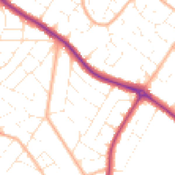
Daytime· 07:00 – 23:00
50.3dB

Night-time· 23:00 – 07:00
40.3dB