9 Cobham Road, Bournemouth, BH9 3AR
About 9 Cobham Road
9 Cobham Road is a semi-detached house in Bournemouth (BH9 3AR). It has a recorded floor area of 106 m² (around 1141 sq ft), construction records dating it to 1900-1929 and council tax band C. The latest certificate (December 2019) shows a D (score 67), on the cusp of jumping into the C band. The recommended improvements would lift it to B (score 84), a 2-band jump.
At 106 m² the property is well over the postcode median (68 m² across 7 EPCs), placing it in the larger end of the local stock. Today's modelled estimate of £422,000 is 20.6% above the 2020 sale price. On a £-per-square-foot basis, the last sale (£307/sq ft) was about 97% above the typical sold price in the postcode. Sold January 2020 for £350,000.
Everything you need to know about 9 Cobham Road
The true value, the hidden risks and the full sale history, in one report.
Pick your report · every report is £14.99
One time fee only - money back guarantee

The data behind every report


Energy performance
Recommended upgrades on file would lift this property by multiple EPC bands.
EPC Rating
Get a survey for this property
Level 3 Building Survey
Because the property was built before 1919, we believe a Level 3 building survey should be considered.
From £1,020 · Includes VAT
Planning history
9 Cobham Road has no planning applications on record.
But the area is active
1 notable application nearby — larger schemes and conversions that could reshape the street. The report maps them all.
Sales history & valuation
The latest sale landed in the post-pandemic price surge — useful context when reading the figure.
£422,000
Modelled from EPC, postcode comparables.
£350,000
Recorded with HM Land Registry.
Sales timeline
3 January 2020Most recent
£350,000
Median price across the last 5 sales in BH9 3AR: £180,000 (2025–2016).
Nearby sales in BH9 3AR
Versus other Cobham Road homes
EPC Rating for 9 Cobham Road runs comfortably ahead of the street norm.
Price per m²
£3,302
Street avg £2,353
Floor Area
106 m²
Street avg 108 m²
Habitable Rooms
5 rooms
Street avg 5 rooms
CO₂ Emissions
3.9 t/year
Street avg 4.6 t/year
Everything you need to know about 9 Cobham Road
The true value, the hidden risks and the full sale history, in one report.
Pick your report · every report is £14.99
One time fee only - money back guarantee
The data behind every report
Similar properties nearby
1 Castle Lane West
BH9 3LJ
1 Franklin Road
BH9 3AY
1 Colehill Crescent
BH9 3QG
1 Bradford Road
BH9 3PJ
1 Brockenhurst Road
BH9 3ER
1 Huntvale Road
BH9 3HW
1 Haverstock Road
BH9 3HQ
1 Homeside Road
BH9 3EJ
The neighbourhood at a glance
Crime
4/mo
Steady year-on-year across the wider district.
Nearest stop
0.2 km
Redbreast Road North — bus stop.
Closest school
0.8 km
The Epiphany School. 20 schools nearby.
Go deeper on the local area
A Local Area report breaks down crime, transport links, schools and air quality in depth.
Road noise across the postcode
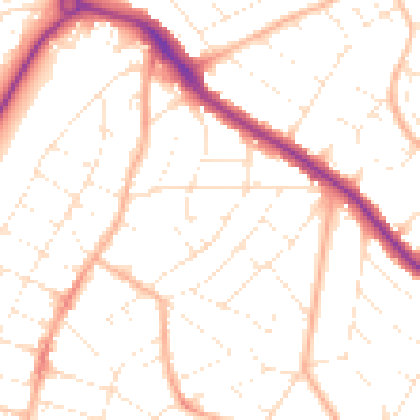
Daytime· 07:00 – 23:00
51.0dB

Night-time· 23:00 – 07:00
40.3dB