4 Coronation Avenue, Bournemouth, BH9 1TN
About 4 Coronation Avenue
4 Coronation Avenue is a three-bedroom detached house in Bournemouth (BH9 1TN). It has a recorded floor area of 126 m² (around 1356 sq ft), construction records dating it to 1900-1929 and council tax band C. The latest certificate (February 2013) shows a D (score 62), on the cusp of jumping into the C band. When first surveyed in March 2011 the rating was E, the property has climbed 1 band since. Between certificates, wall efficiency went from Poor to Good, roof efficiency went from Very Poor to Very Good and window efficiency went from Poor to Average. The recommended improvements would push it to C (score 73). The latest certificate is from February 2013, so improvements made since then won't be reflected.
At 126 m² the property is well over the postcode median (88 m² across 23 EPCs), placing it in the larger end of the local stock. Last changed hands 10 years ago, in November 2016. Across the public record there are 5 sales, relatively high churn for a single property. Across 1997–2016, sale prices on this property compounded at 8.3% per year. Today's modelled estimate of £386,000 is 18.2% above the 2016 sale price. On a £-per-square-foot basis, the last sale (£241/sq ft) was about 28.4% above the typical sold price in the postcode.
What this property has
Inside
- Bedrooms3
Everything you need to know about 4 Coronation Avenue
The true value, the hidden risks and the full sale history, in one report.
Pick your report · every report is £14.99
One time fee only - money back guarantee

The data behind every report


Energy performance
4 Coronation Avenue's EPC is over a decade old — improvements since won't be reflected.
EPC Expired
This certificate is over 10 years old and is no longer valid.Expired 18 Feb 2023
EPC Rating
Property Improvements
Changes detected from historical EPC data
Heating controls upgraded for better temperature management
Windows upgraded, improving insulation
Cavity wall insulation installed
Loft insulation upgraded to recommended levels
Get a survey for this property
Level 3 Building Survey
Because the property was built before 1919, we believe a Level 3 building survey should be considered.
From £955 · Includes VAT
Planning history
4 Coronation Avenue has no planning applications on record.
But the area is active
78 notable applications nearby — larger schemes and conversions that could reshape the street. The report maps them all.
Sales history & valuation
Price for 4 Coronation Avenue has grown more than fourfold since the 1997 starting point.
£386,000
Modelled from EPC, postcode comparables and a sale-price growth of 8.3% per year over 20 years.
£326,660
Growth on file: 8.3% per year over 20 years.
Sales timeline
4 November 2016Most recent
£326,660
+36.1%over 5 years16 June 2011
£240,000
29 April 2007
£240,000
+2.1%over 2 years8 July 2004
£234,950
+238.1%over 7 years1 May 1997
£69,500
Median price across the last 5 sales in BH9 1TN: £315,000 (2025–2023).
Nearby sales in BH9 1TN
8 Coronation Avenue, Bournemouth, BH9 1TN
Sold Feb 2025
£400,0001 Coronation Avenue, Bournemouth, BH9 1TN
Sold Feb 2025
£355,0009 Coronation Avenue, Bournemouth, BH9 1TN
Sold Mar 2023
£276,0009a, Coronation Avenue, Bournemouth, BH9 1TN
Sold Mar 2023
£160,00026 Coronation Avenue, Bournemouth, BH9 1TN
Sold Mar 2023
£315,000
Versus other Coronation Avenue homes
4 Coronation Avenue is notably below the street on habitable rooms.
Price per m²
£2,593
Street avg £2,501
Floor Area
126 m²
Street avg 117 m²
Habitable Rooms
5 rooms
Street avg 6 rooms
CO₂ Emissions
4.6 t/year
Street avg 5.2 t/year
Everything you need to know about 4 Coronation Avenue
The true value, the hidden risks and the full sale history, in one report.
Pick your report · every report is £14.99
One time fee only - money back guarantee
The data behind every report
Similar properties nearby
The neighbourhood at a glance
Daytime road noise here sits well below conversation level — a quiet pocket of the postcode.
Crime
4/mo
Steady year-on-year across the wider district.
Nearest stop
0.1 km
Ensbury Park Road — bus stop.
Closest school
0.3 km
Moordown St John's Church of England Primary School. 21 schools nearby.
Go deeper on the local area
A Local Area report breaks down crime, transport links, schools and air quality in depth.
Road noise across the postcode
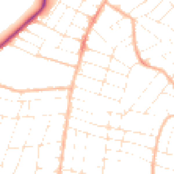
Daytime· 07:00 – 23:00
48.6dB

Night-time· 23:00 – 07:00
38.0dB