Flat 1, 8 Linwood Road, Bournemouth, BH9 1DW
About Flat 1
Flat 1 is a detached house in Bournemouth (BH9 1DW). It has a recorded floor area of 70 m² (around 753 sq ft), construction records dating it to 1930-1949 and council tax band B. At 70 m² this is the 2nd smallest of 3 units on EPC record in the building, where floor areas span 69–152 m². On EPC score it ranks last in the building (64 versus a best of 68). The latest certificate (June 2019) shows a D (score 64), on the cusp of jumping into the C band. The recommended improvements would push it to C (score 73).
Across 2008–2024, sale prices on this property compounded at 2.4% per year. Today's modelled estimate of £200,000 sits 66.7% above the 2024 sale of £120,000. On a £-per-square-foot basis, the last sale (£159/sq ft) was about 22.1% below the postcode norm. At 70 m² it sits well below the postcode median (108 m² across 25 EPCs), making it one of the more compact homes locally. One planning record on file: an extension approved in 2026. Past consents include an extension and partial demolition, meaningful when judging how the property has evolved. Last sale on file: £120,000 in November 2024.
Everything you need to know about Flat 1
The true value, the hidden risks and the full sale history, in one report.
Pick your report · every report is £14.99
One time fee only - money back guarantee

The data behind every report


Energy performance
EPC Rating
Get a survey for this property
Level 2 HomeBuyer Report
We've checked 10 risk factors against the available data for this property and believe a Level 2 HomeBuyer Report could be a suitable option for you.
From £495 · Includes VAT
Planning history
Planning history includes recorded demolition works, indicating a major rebuild phase at this address.
1 application on record at Flat 1, 8 Linwood Road, Bournemouth, BH9 1DW
- Feb 2026DemolitionFullOutcome in report
Extension: Single storey · Rear of property
Proposed single storey rear extension following demolition of existing conservatory
Extension- Documents
- 7 docs on file
- Reference
- P/25/05093/FUL
Unlock Flat 1, 8 Linwood Road, Bournemouth, BH9 1DW's full planning history
You're seeing the shape of it. The report has the substance.
- Every decision — granted, refused or withdrawn (1 on record)
- All 1 application on this property in full, plus 78 notable nearby
- The 7 documents, officer reports & conditions
- What the pattern means for extending or converting here
One time fee only - money back guarantee
Sales history & valuation
£200,000
Modelled from EPC, postcode comparables and a sale-price growth of 2.4% per year over 16 years.
£120,000
Growth on file: 2.4% per year over 16 years.
Sales timeline
4 November 2024Most recent
£120,000
+46.3%over 16 years1 July 2008
£82,000
Median price across the last 5 sales in BH9 1DW: £227,000 (2025–2024).
Nearby sales in BH9 1DW
Flat 3, 16 Linwood Road, Bournemouth, BH9 1DW
Sold Jun 2025
£152,000Flat 2, 16 Linwood Road, Bournemouth, BH9 1DW
Sold Mar 2025
£200,00010 Linwood Road, Bournemouth, BH9 1DW
Sold Feb 2025
£534,00026 Linwood Road, Bournemouth, BH9 1DW
Sold Dec 2024
£550,000Flat 2, 8 Linwood Road, Bournemouth, BH9 1DW
Sold Nov 2024
£227,000
Versus other Linwood Road homes
Flat 1 is notably below the street on co₂ emissions.
Price per m²
£1,714
Street avg £3,007
Floor Area
70 m²
Street avg 66 m²
Habitable Rooms
3 rooms
Street avg 3 rooms
CO₂ Emissions
3.2 t/year
Street avg 2.6 t/year
Everything you need to know about Flat 1
The true value, the hidden risks and the full sale history, in one report.
Pick your report · every report is £14.99
One time fee only - money back guarantee
The data behind every report
Similar properties nearby
84a, First Floor Flat, Alma Road
BH9 1AN
2 4, Flat 4, Maxwell Road
BH9 1DQ
2 4, Flat 1, Maxwell Road
BH9 1DQ
84c, First Floor Flat, Alma Road
BH9 1AN
9a, First Floor Flat, Murley Road
BH9 1NS
3a, First Floor Flat, Cardigan Road
BH9 1BD
19a, Ground Floor Flat, Midland Road
BH9 1PA
2 4, Flat 2, Maxwell Road
BH9 1DQ
The neighbourhood at a glance
Daytime road noise here sits well below conversation level — a quiet pocket of the postcode.
Crime
4/mo
Steady year-on-year across the wider district.
Nearest stop
0.1 km
St. Albans Church — bus stop.
Closest school
0.8 km
Malmesbury Park Primary School. 27 schools nearby.
Go deeper on the local area
A Local Area report breaks down crime, transport links, schools and air quality in depth.
Road noise across the postcode
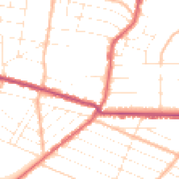
Daytime· 07:00 – 23:00
49.8dB

Night-time· 23:00 – 07:00
39.9dB