10a, Bingham Road, Bournemouth, BH9 1BS
About 10a
10a is a one-bedroom detached house in Bournemouth (BH9 1BS). It has a recorded floor area of 60 m² (around 646 sq ft) and construction records dating it to 1900-1929. At 60 m² this is the 12th smallest of 43 units on EPC record in the building, where floor areas span 49–155 m². The building's EPC ratings span F to B across 43 units on file. The latest certificate (July 2015) shows a D (score 65), on the cusp of jumping into the C band. The recommended improvements would push it to C (score 72). The latest certificate is from July 2015, so improvements made since then won't be reflected.
Untraded for 28 years, with the last transfer in August 1998. Only one transfer is on record with HM Land Registry, suggesting it has stayed in the same hands for a long time. Today's modelled estimate of £207,000 sits 360% above the 1998 sale of £45,000. On a £-per-square-foot basis, the last sale (£70/sq ft) was about 59.4% below the postcode norm. At 60 m² it's 19.5% smaller than the typical home in the postcode (75 m² median across 42 EPCs). 1 bedrooms is on the smaller side for this postcode, where 3 is the typical count.
What this property has
Inside
- Bedrooms1
- Bathrooms2
Everything you need to know about 10a
The true value, the hidden risks and the full sale history, in one report.
Pick your report · every report is £14.99
One time fee only - money back guarantee

The data behind every report


Energy performance
EPC Expired
This certificate is over 10 years old and is no longer valid.Expired 26 Jul 2025
EPC Rating
Get a survey for this property
Level 3 Building Survey
Because the property was built before 1919, we believe a Level 3 building survey should be considered.
From £885 · Includes VAT
Planning history
10a has no planning applications on record.
But the area is active
78 notable applications nearby — larger schemes and conversions that could reshape the street. The report maps them all.
Sales history & valuation
10a's modelled value sits at over four times its earliest registered sale price (1998).
£207,000
Modelled from EPC, postcode comparables.
£45,000
Recorded with HM Land Registry.
Sales timeline
13 August 1998Most recent
£45,000
Median price across the last 5 sales in BH9 1BS: £317,000 (2025–2022).
Nearby sales in BH9 1BS
Versus other Bingham Road homes
On price per m², 10a runs well behind the street norm.
Price per m²
£750
Street avg £2,400
Floor Area
60 m²
Street avg 61 m²
Habitable Rooms
3 rooms
Street avg 3 rooms
CO₂ Emissions
2.3 t/year
Street avg 2.2 t/year
Everything you need to know about 10a
The true value, the hidden risks and the full sale history, in one report.
Pick your report · every report is £14.99
One time fee only - money back guarantee
The data behind every report
Similar properties nearby
The neighbourhood at a glance
Daytime road noise here sits well below conversation level — a quiet pocket of the postcode.
Crime
4/mo
Steady year-on-year across the wider district.
Nearest stop
0.2 km
Stokewood Road — bus stop.
Closest school
0.4 km
St Luke's Church of England Primary School. 26 schools nearby.
Go deeper on the local area
A Local Area report breaks down crime, transport links, schools and air quality in depth.
Road noise across the postcode
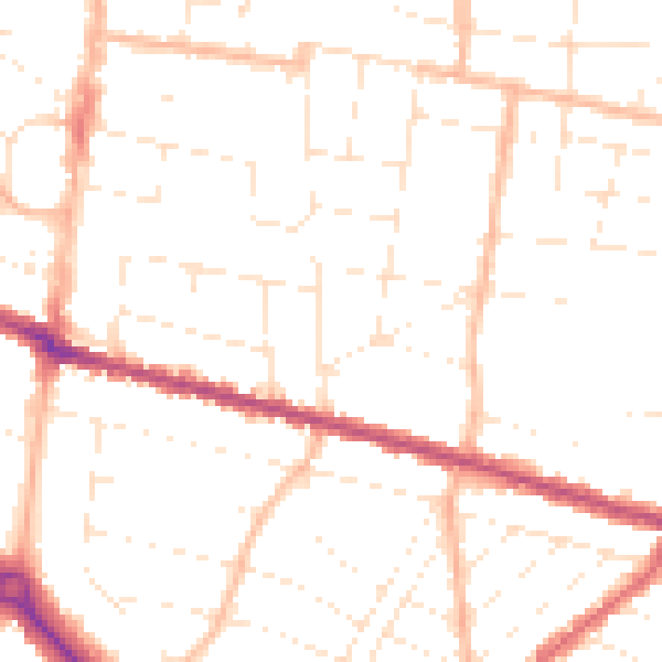
Daytime· 07:00 – 23:00
49.5dB

Night-time· 23:00 – 07:00
39.1dB