18 Trafalgar Road, Bournemouth, BH9 1BA
About 18 Trafalgar Road
18 Trafalgar Road is a detached house in Bournemouth (BH9 1BA). It has a recorded floor area of 97 m² (around 1044 sq ft), construction records dating it to 1900-1929 and council tax band C. The latest certificate (January 2014) shows an E (score 53), well below the UK norm with real room to improve. The recommended improvements would lift it to B (score 81), a 3-band jump. The latest certificate is from January 2014, so improvements made since then won't be reflected.
It hasn't traded since January 1999, a hold of 27 years that's notably long for the area. Across 1997–1999, sale prices on this property compounded at 8.6% per year. Today's modelled estimate of £333,000 sits 282.8% above the 1999 sale of £87,000. On a £-per-square-foot basis, the last sale (£83/sq ft) was about 51.1% below the postcode norm. It lags the bulk of the postcode on energy efficiency (less efficient than 81% of similar EPCs).
Everything you need to know about 18 Trafalgar Road
The true value, the hidden risks and the full sale history, in one report.
Pick your report · every report is £14.99
One time fee only - money back guarantee

The data behind every report


Energy performance
Recommended upgrades on file would lift this property by multiple EPC bands.
EPC Expired
This certificate is over 10 years old and is no longer valid.Expired 27 Jan 2024
EPC Rating
Get a survey for this property
Level 3 Building Survey
Because the property was built before 1919, we believe a Level 3 building survey should be considered.
From £955 · Includes VAT
Planning history
18 Trafalgar Road has no planning applications on record.
But the area is active
78 notable applications nearby — larger schemes and conversions that could reshape the street. The report maps them all.
Sales history & valuation
18 Trafalgar Road's modelled value sits at over four times its earliest registered sale price (1997).
£333,000
Modelled from EPC, postcode comparables and a sale-price growth of 8.6% per year over 1 year.
£87,000
Growth on file: 8.6% per year over 1 year.
Sales timeline
15 January 1999Most recent
£87,000
+9.7%over 1 year3 December 1997
£79,325
Median price across the last 5 sales in BH9 1BA: £315,000 (2023–2018).
Nearby sales in BH9 1BA
Versus other Trafalgar Road homes
On price per m², 18 Trafalgar Road runs well behind the street norm.
Price per m²
£897
Street avg £2,370
Floor Area
97 m²
Street avg 105 m²
Habitable Rooms
4 rooms
Street avg 6 rooms
CO₂ Emissions
5.2 t/year
Street avg 4.6 t/year
Everything you need to know about 18 Trafalgar Road
The true value, the hidden risks and the full sale history, in one report.
Pick your report · every report is £14.99
One time fee only - money back guarantee
The data behind every report
Similar properties nearby
The neighbourhood at a glance
Daytime road noise here sits well below conversation level — a quiet pocket of the postcode.
Crime
4/mo
Steady year-on-year across the wider district.
Nearest stop
0.2 km
Stokewood Road — bus stop.
Closest school
0.4 km
St Luke's Church of England Primary School. 26 schools nearby.
Go deeper on the local area
A Local Area report breaks down crime, transport links, schools and air quality in depth.
Road noise across the postcode
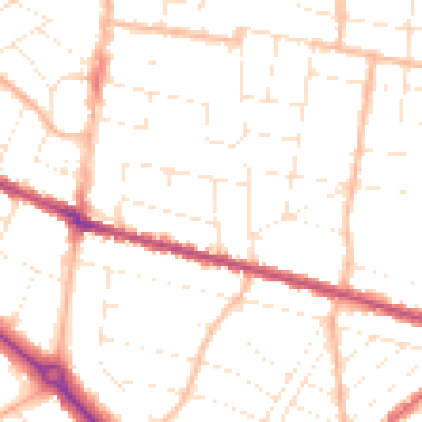
Daytime· 07:00 – 23:00
49.8dB

Night-time· 23:00 – 07:00
39.4dB