12a, Trafalgar Road, Bournemouth, BH9 1BA
About 12a
12a is a semi-detached house in Bournemouth (BH9 1BA). It has a recorded floor area of 82 m² (around 883 sq ft) and construction records dating it to 1900-1929. At 82 m² this is the 5th smallest of 17 units on EPC record in the building, where floor areas span 53–126 m². The building's EPC ratings span E to C, with this unit at the top. The latest certificate (February 2020) shows a C (score 73).
Today's modelled estimate of £234,000 sits 51% above the 2015 sale of £155,000. On a £-per-square-foot basis, the last sale (£176/sq ft) was about 27.3% above the typical sold price in the postcode. At 82 m² it's 15.5% smaller than the typical home in the postcode (97 m² median across 16 EPCs). Its energy rating outperforms most of the postcode (better than 88% of similar EPCs). Last sold in June 2015, so it's been off the market for around 11 years.
Everything you need to know about 12a
The true value, the hidden risks and the full sale history, in one report.
Pick your report · every report is £14.99
One time fee only - money back guarantee

The data behind every report


Energy performance
EPC Rating
Get a survey for this property
Level 3 Building Survey
Because the property was built before 1919 and has been extended more than once, we believe a Level 3 building survey should be considered.
From £885 · Includes VAT
Planning history
12a has no planning applications on record.
But the area is active
78 notable applications nearby — larger schemes and conversions that could reshape the street. The report maps them all.
Sales history & valuation
12a valuation sits well clear of the typical sold price in this postcode.
£234,000
Modelled from EPC, postcode comparables.
£155,000
Recorded with HM Land Registry.
Sales timeline
4 June 2015Most recent
£155,000
Median price across the last 5 sales in BH9 1BA: £315,000 (2023–2018).
Nearby sales in BH9 1BA
Versus other Trafalgar Road homes
On price per m², 12a stands well clear of the street.
Price per m²
£1,890
Street avg £1,178
Floor Area
82 m²
Street avg 66 m²
Habitable Rooms
3 rooms
Street avg 3 rooms
CO₂ Emissions
2.4 t/year
Street avg 3.4 t/year
Everything you need to know about 12a
The true value, the hidden risks and the full sale history, in one report.
Pick your report · every report is £14.99
One time fee only - money back guarantee
The data behind every report
Similar properties nearby
The neighbourhood at a glance
Daytime road noise here sits well below conversation level — a quiet pocket of the postcode.
Crime
4/mo
Steady year-on-year across the wider district.
Nearest stop
0.2 km
Stokewood Road — bus stop.
Closest school
0.4 km
St Luke's Church of England Primary School. 26 schools nearby.
Go deeper on the local area
A Local Area report breaks down crime, transport links, schools and air quality in depth.
Road noise across the postcode
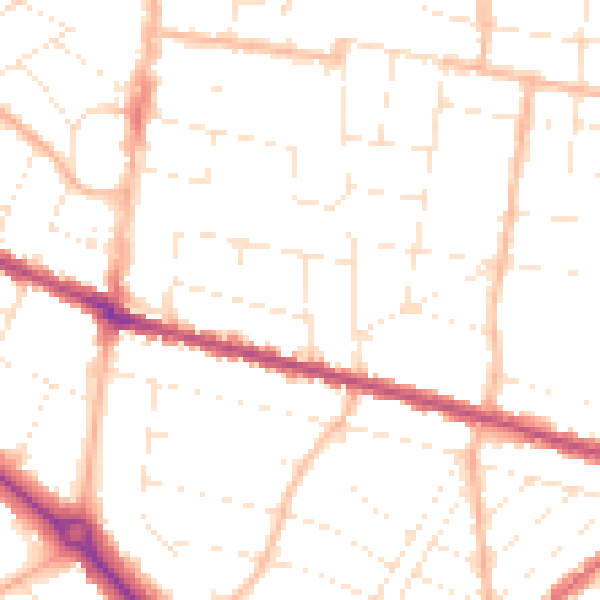
Daytime· 07:00 – 23:00
49.8dB

Night-time· 23:00 – 07:00
39.4dB