42 Parker Road, Bournemouth, BH9 1AY
About 42 Parker Road
42 Parker Road is a three-bedroom detached house in Bournemouth (BH9 1AY). It has a recorded floor area of 117 m² (around 1259 sq ft), construction records dating it to 1930-1949 and council tax band C. The latest certificate (May 2023) shows a D (score 55), a step below the typical UK home. The recommended improvements would push it to C (score 78). Other recorded features include outbuildings. Our model identifies extension potential, subject to local planning policy.
At 117 m² it's 19.4% larger than the typical home in the postcode (98 m² median across 29 EPCs). On a £-per-square-foot basis, the last sale (£270/sq ft) was about 39.7% above the typical sold price in the postcode. Sold January 2024 for £340,000.
What this property has
Inside
- Bedrooms3
- Bathrooms1
- Dining roomYes
- StudyYes
Outside
- Private gardenRear
- GarageYes
- OutbuildingsYes
Building
- Extension potentialPossible
Everything you need to know about 42 Parker Road
The true value, the hidden risks and the full sale history, in one report.
Pick your report · every report is £14.99
One time fee only - money back guarantee

The data behind every report


Energy performance
42 Parker Road's carbon output runs well above what efficient homes in the postcode produce.
EPC Rating
Get a survey for this property
Level 3 Building Survey
Because the property has been extended more than once and has permanent outbuildings, we believe a Level 3 building survey should be considered.
From £955 · Includes VAT
Planning history
42 Parker Road has no planning applications on record.
But the area is active
78 notable applications nearby — larger schemes and conversions that could reshape the street. The report maps them all.
Sales history & valuation
42 Parker Road valuation sits well clear of the typical sold price in this postcode.
£364,000
Modelled from EPC, postcode comparables.
£340,000
Recorded with HM Land Registry.
Sales timeline
9 January 2024Most recent
£340,000
Median price across the last 5 sales in BH9 1AY: £308,000 (2025–2021).
Nearby sales in BH9 1AY
Versus other Parker Road homes
42 Parker Road is notably below the street on co₂ emissions.
Price per m²
£2,906
Street avg £2,449
Floor Area
117 m²
Street avg 108 m²
Habitable Rooms
5 rooms
Street avg 6 rooms
CO₂ Emissions
6.1 t/year
Street avg 4.4 t/year
Everything you need to know about 42 Parker Road
The true value, the hidden risks and the full sale history, in one report.
Pick your report · every report is £14.99
One time fee only - money back guarantee
The data behind every report
Similar properties nearby
The neighbourhood at a glance
Crime
4/mo
Steady year-on-year across the wider district.
Nearest stop
0.2 km
Winton Banks — bus stop.
Closest school
0.4 km
St Luke's Church of England Primary School. 26 schools nearby.
Go deeper on the local area
A Local Area report breaks down crime, transport links, schools and air quality in depth.
Road noise across the postcode
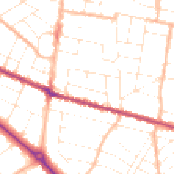
Daytime· 07:00 – 23:00
50.1dB

Night-time· 23:00 – 07:00
39.6dB