73 Alma Road, Bournemouth, BH9 1AD
About 73 Alma Road
73 Alma Road is a semi-detached house in Bournemouth (BH9 1AD). It has a recorded floor area of 48 m² (around 517 sq ft), construction records dating it to 1930-1949 and council tax band A. At 48 m² this is the 4th smallest of 12 units on EPC record in the building, where floor areas span 44–75 m². The building's EPC ratings span D to C, with this unit at the bottom. The latest certificate (December 2015) shows a D (score 64), on the cusp of jumping into the C band. The rating has held steady at D across 2 certificates since December 2015. The recommended improvements would push it to C (score 76). The latest certificate is from December 2015, so improvements made since then won't be reflected.
Today's modelled estimate of £164,000 is 26.2% above the 2019 sale price. On a £-per-square-foot basis, the last sale (£252/sq ft) was about 59.6% above the typical sold price in the postcode. At 48 m² it's 17.2% smaller than the typical home in the postcode (58 m² median across 11 EPCs). Sold October 2019 for £130,000.
Everything you need to know about 73 Alma Road
The true value, the hidden risks and the full sale history, in one report.
Pick your report · every report is £14.99
One time fee only - money back guarantee

The data behind every report


Energy performance
EPC Expired
This certificate is over 10 years old and is no longer valid.Expired 13 Dec 2025
EPC Rating
Get a survey for this property
Level 2 HomeBuyer Report
We've checked 10 risk factors against the available data for this property and believe a Level 2 HomeBuyer Report could be a suitable option for you.
From £495 · Includes VAT
Planning history
73 Alma Road has no planning applications on record.
But the area is active
78 notable applications nearby — larger schemes and conversions that could reshape the street. The report maps them all.
Sales history & valuation
73 Alma Road valuation sits well clear of the typical sold price in this postcode.
£164,000
Modelled from EPC, postcode comparables.
£130,000
Recorded with HM Land Registry.
Sales timeline
22 October 2019Most recent
£130,000
Median price across the last 5 sales in BH9 1AD: £117,000 (2019–2006).
Versus other Alma Road homes
Price per m² for 73 Alma Road runs comfortably ahead of the street norm.
Price per m²
£2,708
Street avg £1,742
Floor Area
48 m²
Street avg 59 m²
Habitable Rooms
3 rooms
Street avg 3 rooms
CO₂ Emissions
2.4 t/year
Street avg 2.8 t/year
Everything you need to know about 73 Alma Road
The true value, the hidden risks and the full sale history, in one report.
Pick your report · every report is £14.99
One time fee only - money back guarantee
The data behind every report
Similar properties nearby
The neighbourhood at a glance
Crime
4/mo
Steady year-on-year across the wider district.
Nearest stop
0.1 km
Stokewood Road — bus stop.
Closest school
0.6 km
St Luke's Church of England Primary School. 26 schools nearby.
Go deeper on the local area
A Local Area report breaks down crime, transport links, schools and air quality in depth.
Road noise across the postcode
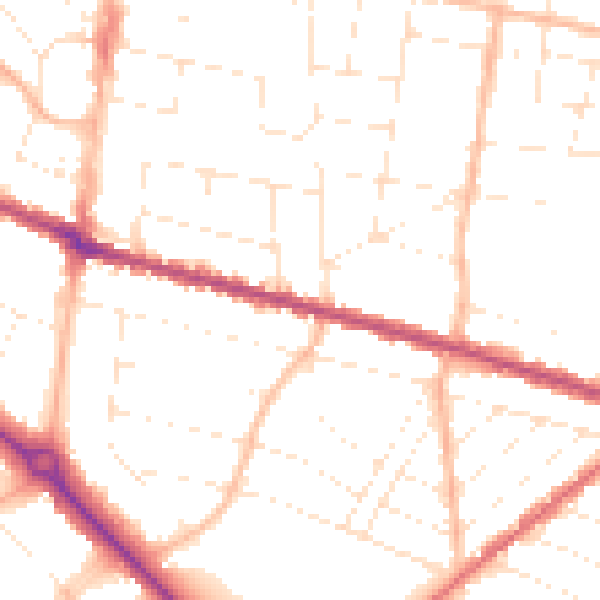
Daytime· 07:00 – 23:00
50.1dB

Night-time· 23:00 – 07:00
40.1dB