39a, Queens Park South Drive, Bournemouth, BH8 9BJ
About 39a
39a is a detached house in Bournemouth (BH8 9BJ). It has a recorded floor area of 265 m² (around 2852 sq ft), construction records dating it to 1900-1929 and council tax band C. At 265 m² this is the smallest unit on EPC record across the building (265–497 m²). The building's EPC ratings span E to D, with this unit at the bottom. On EPC score it ranks last in the building (44 versus a best of 65). The latest certificate (March 2024) shows an E (score 44), well below the UK norm with real room to improve. Earlier certificates rated it D (August 2011); the latest reading is one band lower. Between certificates, window efficiency went from Average to Good; while roof efficiency dropped from Average to Very Poor and lighting dropped from Good to Average. The recommended improvements would push it to D (score 62).
Last changed hands 12 years ago, in November 2014. Across 2004–2014, sale prices on this property compounded at 3.8% per year.
Everything you need to know about 39a
The true value, the hidden risks and the full sale history, in one report.
30-day money-back guarantee

The data behind every report


Energy performance
39a's carbon output runs well above what efficient homes in the postcode produce.
EPC Rating
Property Improvements
Changes detected from historical EPC data
Heating controls upgraded for better temperature management
Glazing upgraded to newer, more efficient type
Planning history
39a has no planning applications on record.
Notable planning nearby
7applications of note in the surrounding area
We flagged 1 thing worth checking at 39a
Independent checks surfaced things a buyer would want to understand before offering. The report explains each one in full, with the underlying data and what to ask.
- Signs of HMO activity in the area
30-day money-back guarantee
Sales history & valuation
39a valuation runs notably under the typical sold price in this postcode.
£793,000
Modelled from EPC, postcode comparables and a sale-price growth of 3.8% per year over 11 years.
£850,000
Growth on file: 3.8% per year over 11 years.
Sales timeline
17 November 2014Most recent
£850,000
+49.1%over 10 years20 January 2004
£570,000
Median price across the last 4 sales in BH8 9BJ: £2,027,500 (2024–2005).
Everything you need to know about 39a
The true value, the hidden risks and the full sale history, in one report.
30-day money-back guarantee
The data behind every report
Similar properties nearby
The neighbourhood at a glance
Crime
14/mo
Steady year-on-year across the wider district.
Nearest stop
0.2 km
Buchanan Avenue — bus stop.
Closest school
0.7 km
King's Park Academy. 25 schools nearby.
Go deeper on the local area
The full report breaks down crime, transport links, schools and air quality in depth.
Road noise across the postcode
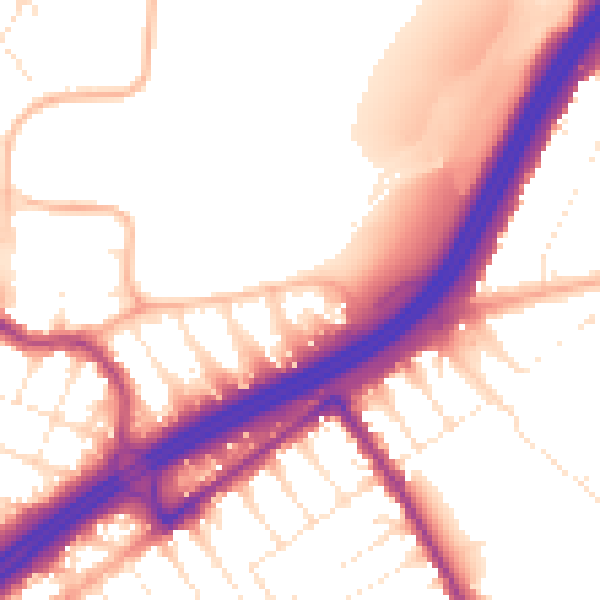
Daytime· 07:00 – 23:00
55.4dB

Night-time· 23:00 – 07:00
46.8dB