41 Avenue Road, Wimborne, BH21 1BS
About 41 Avenue Road
41 Avenue Road is a four-bedroom detached house in Wimborne (BH21 1BS). It has a recorded floor area of 181 m² (around 1948 sq ft), construction records dating it to before 1900 and council tax band F. The latest certificate (March 2025) shows a D (score 55), a step below the typical UK home. When first surveyed in August 2012 the rating was E, the property has climbed 1 band since. Between certificates, window efficiency went from Poor to Good, hot-water efficiency went from Average to Good and lighting went from Poor to Very Good. The recommended improvements would push it to C (score 70). The property has an EV charger on record, all of which lower running costs and tend to lift resale appeal. Other recorded features include attached land beyond the plot. Period features are noted in the property record.
At 181 m² the property is well over the postcode median (107 m² across 10 EPCs), placing it in the larger end of the local stock. Across 2005–2012, sale prices on this property compounded at 3.5% per year. Today's modelled estimate of £797,000 sits 51.4% above the 2012 sale of £526,500. On a £-per-square-foot basis, the last sale (£270/sq ft) was about 55.7% above the typical sold price in the postcode. 6 planning records sit against the property, 2 approved, 1 refused. Past consents include an extension and a conservatory, meaningful when judging how the property has evolved. On the market in November 2012 and unlisted since — roughly 14 years.
Know exactly what you're buying at 41 Avenue Road
Before you offer, see what the listing won't tell you, the true value, the red flags and the full history.
Already flagged here
Valuation
against the asking price
Risks
planning & flood
Sold prices
similar homes nearby
Trends
the local market
What this property has
Inside
- Bedrooms4
- Bathrooms2
- Dining roomYes
- FireplaceYes
Outside
- Private gardenRear
- GarageYes
- Summer houseYes
- LandYes
Building
- EV chargerYes
- Period featuresYes
Energy performance
41 Avenue Road's carbon output runs well above what efficient homes in the postcode produce.
EPC Rating
Property Improvements
Changes detected from historical EPC data
Glazing upgraded to newer, more efficient type
Hot water efficiency improved
Windows upgraded, improving insulation
Wall insulation improved
Roof insulation improved
More low energy lighting installed
Planning history
Planning history includes recorded demolition works, indicating a major rebuild phase at this address.
- Sept 2025Tree WorksTreesIn report
Sycamore (front garden): Remove.
- Documents
- 5 docs on file
- Reference
- P/TRC/2025/04860
- Mar 2021Tree WorksTreesIn report
Oak: Fell OR Crown reduction of 60%.
- Council
- East Dorset
- Documents
- 3 docs on file
- Reference
- 3/21/0207/TCA
We flagged 1 thing worth checking at 41 Avenue Road
Independent checks surfaced things a buyer would want to understand before offering. The report explains each one in full, with the underlying data and what to ask.
- Larger development activity nearby
30-day money-back guarantee
Sales history & valuation
41 Avenue Road valuation sits well clear of the typical sold price in this postcode.
£797,000
Modelled from EPC, postcode comparables and a sale-price growth of 3.5% per year over 7 years.
£526,500
Growth on file: 3.5% per year over 7 years.
Sales timeline
23 November 2012Most recent
£526,500
+29.2%over 7 years7 July 2005
£407,500
Median price across the last 5 sales in BH21 1BS: £339,950 (2023–2012).
Nearby sales in BH21 1BS
Everything we know about 41 Avenue Road, in one report
What it's really worth, what could be wrong, and the planning, sales and area data in full.
What we flagged
- Larger development activity nearby

Versus other Avenue Road homes
41 Avenue Road outperforms the street on floor area by a wide margin.
Price per m²
£2,909
Street avg £2,506
Floor Area
181 m²
Street avg 119 m²
Habitable Rooms
7 rooms
Street avg 6 rooms
CO₂ Emissions
7.5 t/year
Street avg 4.5 t/year
Similar properties nearby
1 Ashdene Close
BH21 1TQ
1 Culverhayes Road
BH21 1EZ
1 Alder Mews
BH21 1GZ
1 Cowdrys Field
BH21 1NB
1 Coppercourt Leaze
BH21 1QX
1 Allenview Road
BH21 1AT
1 Cockerell Close
BH21 1XP
1 Crescent Road
BH21 1BJ
The neighbourhood at a glance
Daytime road noise here sits well below conversation level — a quiet pocket of the postcode.
Crime
2/mo
Steady year-on-year across the wider district.
Nearest stop
0.2 km
St John's Hill — bus stop.
Closest school
0.4 km
St John's Church of England First School, Wimborne. 9 schools nearby.
Go deeper on the local area
The full report breaks down crime, transport links, schools and air quality in depth.
Road noise across the postcode
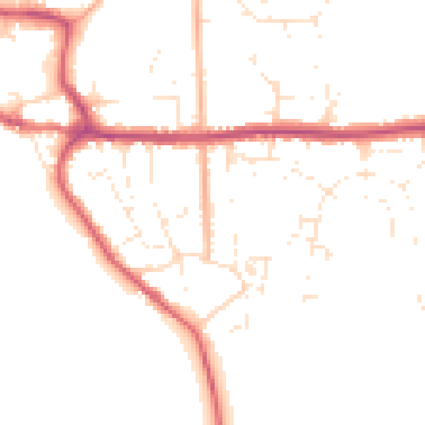
Daytime· 07:00 – 23:00
49.0dB

Night-time· 23:00 – 07:00
40.1dB