15 Dale End, Lothersdale, Keighley, BD20 8ES
About 15 Dale End
15 Dale End is a detached house in Lothersdale, Keighley, Keighley (BD20 8ES). It has a recorded floor area of 202 m² (around 2174 sq ft), construction records dating it to before 1900 and council tax band G. The latest certificate (November 2014) shows a G (score 16), near the bottom of the EPC scale. Earlier certificates rated it F (September 2014); the latest reading is one band lower. Between certificates, roof efficiency dropped from Average to Poor. The recommended improvements would lift it to D (score 68), a 3-band jump. Main heating runs on oil. The latest certificate is from November 2014, so improvements made since then won't be reflected.
Held since July 1997 — that's 29 years off the open market, well above the local norm. Only one transfer is on record with HM Land Registry, suggesting it has stayed in the same hands for a long time. Today's modelled estimate of £678,000 sits 245.9% above the 1997 sale of £196,000. 2 planning records sit against the property, 2 approved, 0 refused. Past consents include tree works, meaningful when judging how the property has evolved.
Everything you need to know about 15 Dale End
The true value, the hidden risks and the full sale history, in one report.
Pick your report · from £14.99
One time fee only - money back guarantee
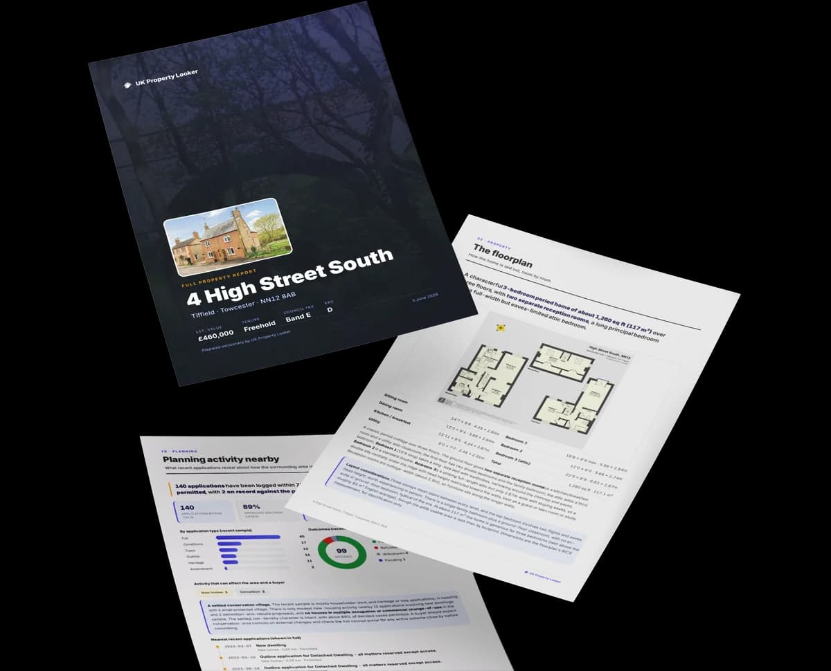
The data behind every report


Energy performance
15 Dale End's carbon output runs well above what efficient homes in the postcode produce.
EPC Expired
This certificate is over 10 years old and is no longer valid.Expired 18 Nov 2024
EPC Rating
Certificate validity
Expired on 18 November 2024
Property Improvements
Changes detected from historical EPC data
Hot water system changed
Glazing upgraded to newer, more efficient type

Get a survey for this property
Level 3 Building Survey
Because the property was built before 1919, has been extended more than once, and has no mains gas supply, we believe a Level 3 building survey should be considered.
From £1,155 · Includes VAT
Planning history
Planning history at 15 Dale End is exclusively tree-management applications — typical for a property with mature trees on or near the plot.
2 applications on record at 15 Dale End, Lothersdale, Keighley, BD20 8ES
- Apr 2001Tree WorksTreesOutcome in report
Remove 2 no. Sycamore, 1 no. Beech
- Council
- SCA
- Reference
- 53/2001/1135
- More recent applications — locked
- Tree WorksApr 2013Decision
Unlock 15 Dale End, Lothersdale, Keighley, BD20 8ES's full planning history
You're seeing the shape of it. The report has the substance.
- Every decision — granted, refused or withdrawn (2 on record)
- All 2 applications on this property in full, plus 3 notable nearby
- The 1 documents, officer reports & conditions
- What the pattern means for extending or converting here
One time fee only - money back guarantee
Sales history & valuation
15 Dale End's estimated value is more than triple its earliest registered sale price (1997).
£678,000
Modelled from EPC, postcode comparables.
£196,000
Recorded with HM Land Registry.
Sales timeline
31 July 1997Most recent
£196,000
Everything you need to know about 15 Dale End
The true value, the hidden risks and the full sale history, in one report.
Pick your report · from £14.99
One time fee only - money back guarantee
The data behind every report
Similar properties nearby
1 Abbey Meadow, Glusburn
BD20 8EW
1 Carr Head Lane, Glusburn
BD20 8FS
1 Baldwin Road, Eastburn
BD20 8AF
1 Brigg Croft, Cononley
BD20 8FA
1 Beanlands Drive, Glusburn
BD20 8PZ
1 Cornerways Gardens, Glusburn
BD20 8QW
1 Airedale Ings, Cononley
BD20 8LF
1 Aireside Terrace, Cononley
BD20 8LY
The neighbourhood at a glance
Daytime road noise here sits well below conversation level — a quiet pocket of the postcode.
Crime
143/mo
Falling year-on-year across the wider district.
Closest school
0.5 km
Lothersdale Primary School. 2 schools nearby.
Go deeper on the local area
A Local Area report breaks down crime, transport links, schools and air quality in depth.
Road noise across the postcode

Daytime· 07:00 – 23:00
42.3dB

Night-time· 23:00 – 07:00
35.8dB