16 Wharncliffe Drive, Bradford, BD2 3SX
About 16 Wharncliffe Drive
16 Wharncliffe Drive is a property in Bradford (BD2 3SX). It has council tax band A.
Held since July 2005 — that's 21 years off the open market, well above the local norm. One historical planning record sits against the property in 2009.
Everything you need to know about 16 Wharncliffe Drive
The true value, the hidden risks and the full sale history, in one report.
Pick your report · every report is £14.99
One time fee only - money back guarantee

The data behind every report


Energy performance
No EPC on record
This property doesn't have an Energy Performance Certificate yet. An EPC is required to sell or let — and unlocks our automated valuation.
Get a survey for this property
Level 2 HomeBuyer Report
We've checked 10 risk factors against the available data for this property and believe a Level 2 HomeBuyer Report could be a suitable option for you.
Planning history
1 application on record at 16 Wharncliffe Drive, Bradford, BD2 3SX
- Apr 2009AmendmentOutcome in report
Change of use and closure of part of rear access track to domestic garden use
- Documents
- 2 docs on file
- Reference
- 09/00773/COU
Unlock 16 Wharncliffe Drive, Bradford, BD2 3SX's full planning history
You're seeing the shape of it. The report has the substance.
- Every decision — granted, refused or withdrawn (1 on record)
- All 1 application on this property in full, plus 3 notable nearby
- The 2 documents, officer reports & conditions
- What the pattern means for extending or converting here
One time fee only - money back guarantee
Sales history & valuation
£72,000
Recorded with HM Land Registry.
Sales timeline
7 July 2005Most recent
£72,000
Median price across the last 5 sales in BD2 3SX: £130,000 (2025–2023).
Nearby sales in BD2 3SX
10 Wharncliffe Drive, Bradford, BD2 3SX
Sold Sept 2025
£135,0006 Wharncliffe Drive, Bradford, BD2 3SX
Sold Dec 2024
£105,00070 Wharncliffe Drive, Bradford, BD2 3SX
Sold Apr 2024
£130,00036 Wharncliffe Drive, Bradford, BD2 3SX
Sold Feb 2024
£183,00054 Wharncliffe Drive, Bradford, BD2 3SX
Sold Oct 2023
£100,000
Everything you need to know about 16 Wharncliffe Drive
The true value, the hidden risks and the full sale history, in one report.
Pick your report · every report is £14.99
One time fee only - money back guarantee
The data behind every report
Similar properties nearby
The neighbourhood at a glance
Crime
3/mo
Steady year-on-year across the wider district.
Nearest stop
0.1 km
Eccleshill Retail Park — bus stop.
Closest school
0.2 km
St Luke's CofE Primary School. 37 schools nearby.
Go deeper on the local area
A Local Area report breaks down crime, transport links, schools and air quality in depth.
Road noise across the postcode
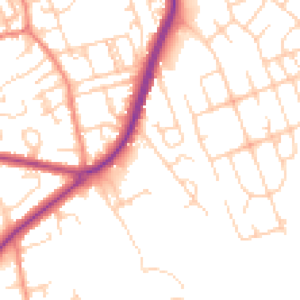
Daytime· 07:00 – 23:00
50.7dB

Night-time· 23:00 – 07:00
40.3dB