8 Victoria Street, Fagley, Bradford, BD2 3LL
About 8 Victoria Street
8 Victoria Street is a one-bedroom mid-terrace house in Fagley, Bradford, Bradford (BD2 3LL). It has a recorded floor area of 87 m² (around 936 sq ft), construction records dating it to before 1900 and council tax band A. The latest certificate (January 2016) shows an E (score 41), well below the UK norm with real room to improve. The recommended improvements would lift it to C (score 74), a 2-band jump. The latest certificate is from January 2016, so improvements made since then won't be reflected. Other recorded features include a basement and a loft. Our model identifies extension potential, subject to local planning policy.
Across 1998–2023, sale prices on this property compounded at 5.6% per year. Today's modelled estimate of £122,000 is 22% above the 2023 sale price. On a £-per-square-foot basis, the last sale (£107/sq ft) was about 16% below the postcode norm. 1 bedrooms is on the smaller side for this postcode, where 3 is the typical count. Most recent transfer: May 2023 at £100,000.
What this property has
Inside
- Bedrooms1
- Bathrooms1
- LoftYes
- BasementYes
Outside
- Private gardenRear
- ParkingOff road
Building
- Extension potentialPossible
Everything you need to know about 8 Victoria Street
The true value, the hidden risks and the full sale history, in one report.
Pick your report · every report is £14.99
One time fee only - money back guarantee

The data behind every report


Energy performance
8 Victoria Street's carbon output runs well above what efficient homes in the postcode produce.
EPC Expired
This certificate is over 10 years old and is no longer valid.Expired 20 Jan 2026
EPC Rating
Get a survey for this property
Level 3 Building Survey
Because the property was built before 1919, we believe a Level 3 building survey should be considered.
From £820 · Includes VAT
Planning history
8 Victoria Street has no planning applications on record.
But the area is active
3 notable applications nearby — larger schemes and conversions that could reshape the street. The report maps them all.
Sales history & valuation
Sale price has grown by over 3x since 1998.
£122,000
Modelled from EPC, postcode comparables and a sale-price growth of 5.6% per year over 25 years.
£100,000
Growth on file: 5.6% per year over 25 years.
Sales timeline
11 May 2023Most recent
£100,000
+11.1%over 6 years3 March 2017
£90,000
+12.5%over 12 years8 August 2004
£79,995
+213.7%over 6 years2 February 1998
£25,500
Median price across the last 5 sales in BD2 3LL: £79,950 (2025–1995).
Everything you need to know about 8 Victoria Street
The true value, the hidden risks and the full sale history, in one report.
Pick your report · every report is £14.99
One time fee only - money back guarantee
The data behind every report
Similar properties nearby
1 Ashfield Place, Fagley
BD2 3JB
1 Cameron Grove, Eccleshill
BD2 3DG
1 Blakehill Terrace
BD2 3JS
1 Charnwood Grove
BD2 3EB
1 Bromet Place
BD2 3BH
1 3, Harrogate Road
BD2 3DT
1 Cherry Tree Place
BD2 3FB
1 Charlton Close
BD2 3BQ
The neighbourhood at a glance
Crime
3/mo
Steady year-on-year across the wider district.
Nearest stop
0.1 km
St John's Centre — bus stop.
Closest school
0.3 km
St. Clare's Catholic Primary School, A Voluntary Academy. 37 schools nearby.
Go deeper on the local area
A Local Area report breaks down crime, transport links, schools and air quality in depth.
Road noise across the postcode
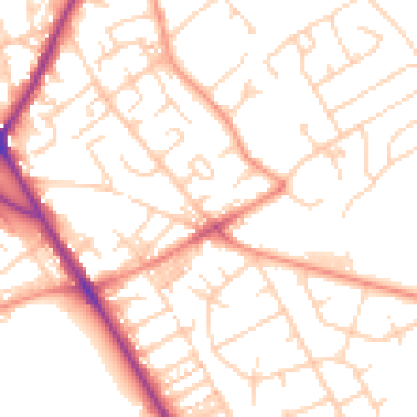
Daytime· 07:00 – 23:00
51.8dB

Night-time· 23:00 – 07:00
40.5dB