11 Canter Way, Bradford, BD2 3FE
About 11 Canter Way
11 Canter Way is a semi-detached house in Bradford (BD2 3FE). It has a recorded floor area of 77 m² (around 829 sq ft) and construction records dating it to 2019. The latest certificate (March 2023) returns a B (score 84), comfortably above the UK average. The recommended improvements would push it to A (score 96).
At 77 m² it's 19.8% smaller than the typical home in the postcode (96 m² median across 11 EPCs). Most recent transfer: March 2023 at £244,995.
Everything you need to know about 11 Canter Way
The true value, the hidden risks and the full sale history, in one report.
Pick your report · every report is £14.99
One time fee only - money back guarantee

The data behind every report


Energy performance
11 Canter Way's carbon output is low for the local stock.
EPC Rating
Get a survey for this property
Level 2 HomeBuyer Report
We've checked 10 risk factors against the available data for this property and believe a Level 2 HomeBuyer Report could be a suitable option for you.
From £545 · Includes VAT
Planning history
11 Canter Way has no planning applications on record.
But the area is active
3 notable applications nearby — larger schemes and conversions that could reshape the street. The report maps them all.
Sales history & valuation
£252,000
Modelled from EPC, postcode comparables.
£244,995
Recorded with HM Land Registry.
Sales timeline
24 March 2023Most recent
£244,995
Median price across the last 5 sales in BD2 3FE: £313,995 (2024–2023).
Versus other Canter Way homes
Price per m²
£3,182
Street avg £3,074
Floor Area
77 m²
Street avg 90 m²
CO₂ Emissions
1.2 t/year
Street avg 1.5 t/year
Years Held
3 years
Street avg 3 years
Everything you need to know about 11 Canter Way
The true value, the hidden risks and the full sale history, in one report.
Pick your report · every report is £14.99
One time fee only - money back guarantee
The data behind every report
Similar properties nearby
The neighbourhood at a glance
Daytime road noise here sits well below conversation level — a quiet pocket of the postcode.
Crime
3/mo
Steady year-on-year across the wider district.
Nearest stop
0.4 km
Eccleshill Retail Park — bus stop.
Closest school
0.3 km
St Luke's CofE Primary School. 37 schools nearby.
Go deeper on the local area
A Local Area report breaks down crime, transport links, schools and air quality in depth.
Road noise across the postcode
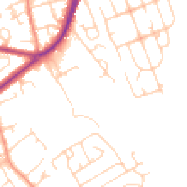
Daytime· 07:00 – 23:00
48.3dB

Night-time· 23:00 – 07:00
38.5dB