15 Alderford Close, Clitheroe, BB7 2QP
About 15 Alderford Close
15 Alderford Close is a three-bedroom detached house in Clitheroe (BB7 2QP). It has a recorded floor area of 92 m² (around 990 sq ft), construction records dating it to 1991-1995 and council tax band E. The latest certificate (November 2013) shows a C (score 69), just inside the C band. The recommended improvements would push it to B (score 82). The latest certificate is from November 2013, so improvements made since then won't be reflected.
2 planning records sit against the property, 2 approved, 0 refused. Past consents include an extension and a porch, meaningful when judging how the property has evolved. Last changed hands 12 years ago, in March 2014. At 92 m² it's 28.4% smaller than the typical home in the postcode (129 m² median across 6 EPCs). Today's modelled estimate of £343,000 is 47.8% above the 2014 sale price.
Know exactly what you're buying at 15 Alderford Close
Before you offer, see what the listing won't tell you, the true value, the red flags and the full history.
Already flagged here
Valuation
against the asking price
Risks
planning & flood
Sold prices
similar homes nearby
Trends
the local market
What this property has
Inside
- Bedrooms3
- Dining roomYes
Outside
- Private gardenFront and rear
Building
- RefurbishedYes
Energy performance
15 Alderford Close's EPC is over a decade old — improvements since won't be reflected.
EPC Expired
This certificate is over 10 years old and is no longer valid.Expired 30 Nov 2023
EPC Rating
Planning history
- Apr 2017RenovationAmendmentIn report
Enlargement of ground floor rear windows to match that of the front ground floor from 1360mm to 1810mm
- Documents
- 5 docs on file
- Reference
- 27875
- Nov 2014PorchFullIn report
Extension to existing bungalow, addition of porch to front elevation and replacement/alteration of existing garage.
Extension- Documents
- 9 docs on file
- Reference
- 25567
We flagged 2 things worth checking at 15 Alderford Close
Independent checks surfaced things a buyer would want to understand before offering. The report explains each one in full, with the underlying data and what to ask.
- Signs of HMO activity in the area
- Larger development activity nearby
30-day money-back guarantee
Sales history & valuation
15 Alderford Close valuation sits well clear of the typical sold price in this postcode.
£343,000
Modelled from EPC, postcode comparables.
£232,000
Recorded with HM Land Registry.
Sales timeline
25 March 2014Most recent
£232,000
Median price across the last 5 sales in BB7 2QP: £250,000 (2020–2005).
Nearby sales in BB7 2QP
1 Alderford Close, Clitheroe, BB7 2QP
Sold Jan 2020
£249,000Orchard House, Alderford Close, Clitheroe, BB7 2QP
Sold Feb 2018
£370,000Alder House, Alderford Close, Clitheroe, BB7 2QP
Sold Jan 2010
£250,00011 Alderford Close, Clitheroe, BB7 2QP
Sold Feb 2008
£287,000Beeches, Alderford Close, Clitheroe, BB7 2QP
Sold Sept 2000
£111,000
Everything we know about 15 Alderford Close, in one report
What it's really worth, what could be wrong, and the planning, sales and area data in full.
What we flagged
- Signs of HMO activity in the area
- Larger development activity nearby

Versus other Alderford Close homes
15 Alderford Close outperforms the street on co₂ emissions by a wide margin.
Price per m²
£2,522
Street avg £2,311
Floor Area
92 m²
Street avg 128 m²
Habitable Rooms
5 rooms
Street avg 6 rooms
CO₂ Emissions
3.3 t/year
Street avg 5.0 t/year
Similar properties nearby
The neighbourhood at a glance
Crime
1/mo
Steady year-on-year across the wider district.
Nearest stop
0.2 km
Fairfield Drive — bus stop.
Closest school
0.5 km
Edisford Primary School. 9 schools nearby.
Go deeper on the local area
The full report breaks down crime, transport links, schools and air quality in depth.
Road noise across the postcode
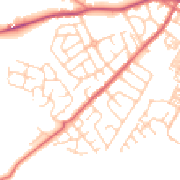
Daytime· 07:00 – 23:00
50.3dB

Night-time· 23:00 – 07:00
40.2dB