17 Calf Hall Road, Barnoldswick, BB18 5PX
About 17 Calf Hall Road
17 Calf Hall Road is a three-bedroom mid-terrace house in Barnoldswick (BB18 5PX). It has a recorded floor area of 138 m² (around 1485 sq ft), construction records dating it to 1900-1929 and council tax band A. The latest certificate (August 2025) shows a C (score 75), near the top of the C band. When first surveyed in January 2009 the rating was D, the property has climbed 1 band since. Between certificates, wall efficiency went from Very Poor to Good, roof efficiency went from Very Poor to Very Good and lighting went from Poor to Good; while window efficiency dropped from Average to Poor.
Untraded for 17 years, with the last transfer in June 2009. That sale fell during the post-crash dip, which often skews comparisons against later neighbouring sales. At 138 m² the property is well over the postcode median (92 m² across 18 EPCs), placing it in the larger end of the local stock. Its energy rating outperforms most of the postcode (better than 83% of similar EPCs). One planning record on file: an extension approved in 2005. Past consents include an extension, meaningful when judging how the property has evolved. Across 1998–2009, sale prices on this property compounded at 11.3% per year. Today's modelled estimate of £170,000 is 36% above the 2009 sale price.
Know exactly what you're buying at 17 Calf Hall Road
Before you offer, see what the listing won't tell you, the true value, the red flags and the full history.
Already flagged here
Valuation
against the asking price
Risks
planning & flood
Sold prices
similar homes nearby
Trends
the local market
What this property has
Inside
- Bedrooms3
- Bathrooms2
Energy performance
EPC Rating
Property Improvements
Changes detected from historical EPC data
More low energy lighting installed
Heating controls upgraded for better temperature management
Wall insulation improved
Loft insulation installed or upgraded to 250mm+
More low energy lighting installed
Planning history
17 Calf Hall Road has an approved single-storey rear extension on the planning record.
- Aug 2005ExtensionFullIn report
Extension: Single storey · Rear of property
Full: Single storey domestic extension to rear
- Documents
- 9 docs on file
- Reference
- 13/05/0519P
We flagged 1 thing worth checking at 17 Calf Hall Road
Independent checks surfaced things a buyer would want to understand before offering. The report explains each one in full, with the underlying data and what to ask.
- Larger development activity nearby
30-day money-back guarantee
Sales history & valuation
17 Calf Hall Road has more than tripled in price since its earliest registered sale in 1998.
£170,000
Modelled from EPC, postcode comparables and a sale-price growth of 11.3% per year over 11 years.
£125,000
Growth on file: 11.3% per year over 11 years.
Sales timeline
11 June 2009Most recent
£125,000
+52.4%over 5 years12 March 2004
£82,000
+110.3%over 5 years30 July 1998
£38,983
Median price across the last 5 sales in BB18 5PX: £147,500 (2025–2023).
Nearby sales in BB18 5PX
24 Calf Hall Road, Barnoldswick, BB18 5PX
Sold May 2025
£164,00018 Calf Hall Road, Barnoldswick, BB18 5PX
Sold Mar 2025
£149,0007 Calf Hall Road, Barnoldswick, BB18 5PX
Sold May 2024
£70,0005 Calf Hall Road, Barnoldswick, BB18 5PX
Sold Apr 2023
£147,50021a, Calf Hall Road, Barnoldswick, BB18 5PX
Sold Apr 2022
£85,000
Everything we know about 17 Calf Hall Road, in one report
What it's really worth, what could be wrong, and the planning, sales and area data in full.
What we flagged
- Larger development activity nearby

Versus other Calf Hall Road homes
On epc rating, 17 Calf Hall Road stands well clear of the street.
Price per m²
£906
Street avg £1,225
Floor Area
138 m²
Street avg 93 m²
Habitable Rooms
5 rooms
Street avg 5 rooms
CO₂ Emissions
3.8 t/year
Street avg 5.8 t/year
Similar properties nearby
The neighbourhood at a glance
Daytime road noise here sits well below conversation level — a quiet pocket of the postcode.
Crime
1/mo
Steady year-on-year across the wider district.
Nearest stop
0.1 km
Westgate — bus stop.
Closest school
0.4 km
Gisburn Road Community Primary School. 6 schools nearby.
Go deeper on the local area
The full report breaks down crime, transport links, schools and air quality in depth.
Road noise across the postcode
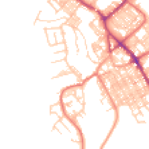
Daytime· 07:00 – 23:00
49.0dB

Night-time· 23:00 – 07:00
39.2dB