21 The Rise, Pateley Place, York, YO26 4LA
About 21 The Rise
21 The Rise is a mid-terrace house in York (YO26 4LA). It has a recorded floor area of 70 m² (around 752 sq ft), construction records dating it to 2007 onwards and council tax band C. At 70 m² this is the 13th smallest of 23 units on EPC record in the building, where floor areas span 65–106 m². The building's EPC ratings span C to B, with this unit at the bottom. The latest certificate (March 2012) shows a C (score 76), near the top of the C band. The rating has held steady at C across 2 certificates since October 2010. Between certificates, wall efficiency dropped from Very Good to Good and hot-water efficiency dropped from Average to Very Poor. Main heating runs on electricity. The latest certificate is from March 2012, so improvements made since then won't be reflected.
Everything you need to know about 21 The Rise
The true value, the hidden risks and the full sale history, in one report.
30-day money-back guarantee

The data behind every report


Energy performance
21 The Rise's EPC is over a decade old — improvements since won't be reflected.
EPC Expired
This certificate is over 10 years old and is no longer valid.Expired 02 Mar 2022
EPC Rating
Planning history
21 The Rise has no planning applications on record.
Notable planning nearby
4applications of note in the surrounding area
We flagged 1 thing worth checking at 21 The Rise
Independent checks surfaced things a buyer would want to understand before offering. The report explains each one in full, with the underlying data and what to ask.
- Signs of HMO activity in the area
30-day money-back guarantee
Sales history & valuation
21 The Rise has no Land Registry sales on file, suggesting it has stayed in the same hands since registration began.
£203,000
Modelled from EPC, postcode comparables.
No sales recorded with HM Land Registry
That can mean the property has never traded since the registry began publishing in 1995, was a new build that hasn't been registered yet, or is held in the same hands long-term.
Versus other Pateley Place homes
EPC Rating
76 (C)
Street avg 79 (C)
Floor Area
70 m²
Street avg 71 m²
CO₂ Emissions
1.9 t/year
Street avg 1.8 t/year
Habitable Rooms
3 rooms
Street avg 3 rooms
Everything you need to know about 21 The Rise
The true value, the hidden risks and the full sale history, in one report.
30-day money-back guarantee
The data behind every report
Similar properties nearby
The neighbourhood at a glance
Crime
4/mo
Steady year-on-year across the wider district.
Nearest stop
0.1 km
The Regent — bus stop.
Closest school
0.5 km
Acomb Primary School. 24 schools nearby.
Go deeper on the local area
The full report breaks down crime, transport links, schools and air quality in depth.
Road noise across the postcode
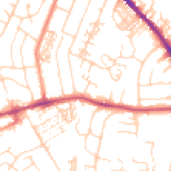
Daytime· 07:00 – 23:00
50.9dB

Night-time· 23:00 – 07:00
39.7dB