Flat A, 48 Micklegate, York, YO1 6LF
About Flat A
Flat A is a mid-terrace house in York (YO1 6LF). It has a recorded floor area of 53 m² (around 570 sq ft) and construction records dating it to before 1900. The latest certificate (June 2018) shows a D (score 66), on the cusp of jumping into the C band. The recommended improvements would push it to C (score 77).
Today's modelled estimate of £198,000 is 35.6% above the 2022 sale price. Last sale on file: £146,000 in April 2022. That sale was during the post-pandemic price surge, when transactions cleared materially above pre-2020 trend.
Everything you need to know about Flat A
The true value, the hidden risks and the full sale history, in one report.
30-day money-back guarantee

The data behind every report


Energy performance
EPC Rating
Planning history
Flat A has no planning applications on record.
Notable planning nearby
10applications of note in the surrounding area
We flagged 2 things worth checking at Flat A
Independent checks surfaced things a buyer would want to understand before offering. The report explains each one in full, with the underlying data and what to ask.
- Signs of HMO activity in the area
- Larger development activity nearby
30-day money-back guarantee
Sales history & valuation
The latest sale landed in the post-pandemic price surge — useful context when reading the figure.
£198,000
Modelled from EPC, postcode comparables.
£146,000
Recorded with HM Land Registry.
Sales timeline
7 April 2022Most recent
£146,000
Median price across the last 5 sales in YO1 6LF: £136,000 (2023–2020).
Versus other Micklegate homes
On years held, Flat A runs well behind the street norm.
Price per m²
£2,755
Street avg £3,427
Floor Area
53 m²
Street avg 52 m²
Habitable Rooms
2 rooms
Street avg 2 rooms
CO₂ Emissions
2.6 t/year
Street avg 2.6 t/year
Everything you need to know about Flat A
The true value, the hidden risks and the full sale history, in one report.
30-day money-back guarantee
The data behind every report
Similar properties nearby
8 Victoria Bar Apartments, Victor Street
YO1 6HQ
69 71, Apartment 3, Micklegate
YO1 6LJ
3 Victoria Bar Apartments, Victor Street
YO1 6HQ
14 Victoria Bar Apartments, Victor Street
YO1 6HQ
29a, Flat 2, George Hudson Street
YO1 6JL
5 Victoria Bar Apartments, Victor Street
YO1 6HQ
17 Victoria Bar Apartments, Victor Street
YO1 6HQ
6 7, Flat 3, Bridge Street
YO1 6DD
The neighbourhood at a glance
Rail-style transport is unusually close for this postcode.
Crime
5/mo
Rising year-on-year across the wider district.
Nearest stop
0.1 km
Rougier Street — bus stop.
Closest school
0.5 km
Scarcroft Primary School. 31 schools nearby.
Go deeper on the local area
The full report breaks down crime, transport links, schools and air quality in depth.
Road noise across the postcode
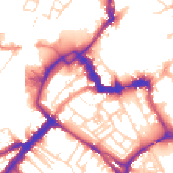
Daytime· 07:00 – 23:00
54.4dB

Night-time· 23:00 – 07:00
45.8dB