71 Lower Priory Street, York, YO1 6HD
About 71 Lower Priory Street
71 Lower Priory Street is a two-bedroom mid-terrace house in York (YO1 6HD). It has a recorded floor area of 85 m² (around 915 sq ft), construction records dating it to 1900-1929 and council tax band C. The latest certificate (February 2017) shows a D (score 64), on the cusp of jumping into the C band. The recommended improvements would lift it to B (score 85), a 2-band jump.
Last sale on file: £435,000 in February 2024. Across the public record there are 5 sales, relatively high churn for a single property. Across 2000–2024, sale prices on this property compounded at 7.3% per year.
What this property has
Inside
- Bedrooms2
- Bathrooms2
Everything you need to know about 71 Lower Priory Street
The true value, the hidden risks and the full sale history, in one report.
30-day money-back guarantee

The data behind every report


Energy performance
Recommended upgrades on file would lift this property by multiple EPC bands.
EPC Rating
Planning history
71 Lower Priory Street has no planning applications on record.
Notable planning nearby
10applications of note in the surrounding area
We flagged 2 things worth checking at 71 Lower Priory Street
Independent checks surfaced things a buyer would want to understand before offering. The report explains each one in full, with the underlying data and what to ask.
- Signs of HMO activity in the area
- Larger development activity nearby
30-day money-back guarantee
Sales history & valuation
Price for 71 Lower Priory Street has grown more than fourfold since the 2000 starting point.
£460,000
Modelled from EPC, postcode comparables and a sale-price growth of 7.3% per year over 23 years.
£435,000
Growth on file: 7.3% per year over 23 years.
Sales timeline
19 February 2024Most recent
£435,000
+45.0%over 5 years2 January 2019
£300,000
+27.7%over 10 years6 July 2008
£235,000
+80.8%over 6 years9 November 2001
£129,950
+52.9%over 1 year25 October 2000
£85,000
Everything you need to know about 71 Lower Priory Street
The true value, the hidden risks and the full sale history, in one report.
30-day money-back guarantee
The data behind every report
Similar properties nearby
1 Fairfax Street
YO1 6EB
1 Dewsbury Terrace
YO1 6HA
1 Emperors Wharf, Skeldergate
YO1 6DQ
1 Falkland Street
YO1 6DY
1 Hampden Street
YO1 6EA
1 Albion Street
YO1 6HJ
1 Buckingham Court
YO1 6EQ
1 Crambeck Court, Fetter Lane
YO1 6BZ
The neighbourhood at a glance
Rail-style transport is unusually close for this postcode.
Crime
5/mo
Rising year-on-year across the wider district.
Nearest stop
0.2 km
Victoria Bar — bus stop.
Closest school
0.3 km
Scarcroft Primary School. 30 schools nearby.
Go deeper on the local area
The full report breaks down crime, transport links, schools and air quality in depth.
Road noise across the postcode
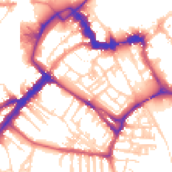
Daytime· 07:00 – 23:00
55.5dB

Night-time· 23:00 – 07:00
46.3dB