14 Smales Street, York, YO1 6EW
About 14 Smales Street
14 Smales Street is a two-bedroom mid-terrace house in York (YO1 6EW). It has a recorded floor area of 62 m² (around 667 sq ft), construction records dating it to 1900-1929 and council tax band B. The latest certificate (December 2013) shows a D (score 61), on the cusp of jumping into the C band. The recommended improvements would lift it to B (score 88), a 2-band jump. The latest certificate is from December 2013, so improvements made since then won't be reflected.
Across 2014–2017, sale prices on this property compounded at 4.7% per year. Today's modelled estimate of £323,000 is 29.2% above the 2017 sale price. On a £-per-square-foot basis, the last sale (£375/sq ft) was about 230.2% above the typical sold price in the postcode. Last sold in June 2017, so it's been off the market for around 9 years.
What this property has
Inside
- Bedrooms2
Everything you need to know about 14 Smales Street
The true value, the hidden risks and the full sale history, in one report.
30-day money-back guarantee

The data behind every report


Energy performance
Recommended upgrades on file would lift this property by multiple EPC bands.
EPC Expired
This certificate is over 10 years old and is no longer valid.Expired 18 Dec 2023
EPC Rating
Planning history
14 Smales Street has no planning applications on record.
Notable planning nearby
10applications of note in the surrounding area
We flagged 2 things worth checking at 14 Smales Street
Independent checks surfaced things a buyer would want to understand before offering. The report explains each one in full, with the underlying data and what to ask.
- Signs of HMO activity in the area
- Larger development activity nearby
30-day money-back guarantee
Sales history & valuation
14 Smales Street valuation sits well clear of the typical sold price in this postcode.
£323,000
Modelled from EPC, postcode comparables and a sale-price growth of 4.7% per year over 3 years.
£250,000
Growth on file: 4.7% per year over 3 years.
Sales timeline
29 June 2017Most recent
£250,000
+16.1%over 3 years6 April 2014
£215,250
Median price across the last 5 sales in YO1 6EW: £500,000 (2024–2015).
Versus other Smales Street homes
14 Smales Street outperforms the street on price per m² by a wide margin.
Price per m²
£4,032
Street avg £2,587
Floor Area
62 m²
Street avg 84 m²
Habitable Rooms
4 rooms
Street avg 4 rooms
CO₂ Emissions
3.4 t/year
Street avg 4.7 t/year
Everything you need to know about 14 Smales Street
The true value, the hidden risks and the full sale history, in one report.
30-day money-back guarantee
The data behind every report
Similar properties nearby
1 Albion Street
YO1 6HJ
1 Hampden Street
YO1 6EA
1 Falkland Street
YO1 6DY
1 Buckingham Court
YO1 6EQ
1 Crambeck Court, Fetter Lane
YO1 6BZ
1 Centurion Square, Skeldergate
YO1 6DP
1 Emperors Wharf, Skeldergate
YO1 6DQ
1 Cromwell House, Cromwell Road
YO1 6DU
The neighbourhood at a glance
Rail-style transport is unusually close for this postcode.
Crime
5/mo
Rising year-on-year across the wider district.
Nearest stop
0.2 km
Micklegate — bus stop.
Closest school
0.4 km
Scarcroft Primary School. 32 schools nearby.
Go deeper on the local area
The full report breaks down crime, transport links, schools and air quality in depth.
Road noise across the postcode
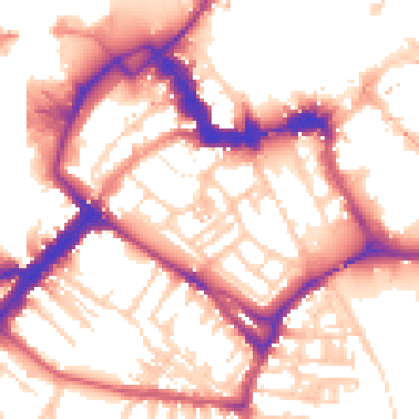
Daytime· 07:00 – 23:00
55.4dB
Night-time· 23:00 – 07:00
46.4dB