2 Foxfields Way, Huntington, Cannock, WS12 4TA
About 2 Foxfields Way
2 Foxfields Way is a two-bedroom semi-detached house in Huntington, Cannock, Cannock (WS12 4TA). It has a recorded floor area of 53 m² (around 569 sq ft), construction records dating it to 1991-1995 and council tax band B. The latest certificate (January 2012) shows a D (score 62), on the cusp of jumping into the C band. The recommended improvements would push it to C (score 69). The latest certificate is from January 2012, so improvements made since then won't be reflected.
At 53 m² it sits well below the postcode median (100 m² across 31 EPCs), making it one of the more compact homes locally. Across 1995–2021, sale prices on this property compounded at 5.2% per year. Today's modelled estimate of £210,000 is 23.5% above the 2021 sale price. On a £-per-square-foot basis, the last sale (£299/sq ft) was about 69.2% above the typical sold price in the postcode. Last sale on file: £170,000 in November 2021. That sale was during the post-pandemic price surge, when transactions cleared materially above pre-2020 trend.
Know exactly what you're buying at 2 Foxfields Way
Before you offer, see what the listing won't tell you, the true value, the red flags and the full history.
Already flagged here
Valuation
against the asking price
Risks
planning & flood
Sold prices
similar homes nearby
Trends
the local market
What this property has
Inside
- Bedrooms2
- Bathrooms1
Energy performance
2 Foxfields Way's EPC is over a decade old — improvements since won't be reflected.
EPC Expired
This certificate is over 10 years old and is no longer valid.Expired 26 Jan 2022
EPC Rating
Planning history
2 Foxfields Way has no planning applications on record.
Notable planning nearby
3applications of note in the surrounding area
We flagged 1 thing worth checking at 2 Foxfields Way
Independent checks surfaced things a buyer would want to understand before offering. The report explains each one in full, with the underlying data and what to ask.
- Larger development activity nearby
30-day money-back guarantee
Sales history & valuation
2 Foxfields Way has more than tripled in price since its earliest registered sale in 1995.
£210,000
Modelled from EPC, postcode comparables and a sale-price growth of 5.2% per year over 27 years.
£170,000
Growth on file: 5.2% per year over 27 years.
Sales timeline
19 November 2021Most recent
£170,000
+34.9%over 5 years18 March 2016
£126,000
+7.2%over 3 years9 November 2012
£117,500
+6.9%over 6 years16 December 2005
£109,950
+37.4%over 3 years29 November 2002
£80,000
+81.8%over 7 years1 March 1995
£44,000
Median price across the last 5 sales in WS12 4TA: £297,500 (2025–2023).
Nearby sales in WS12 4TA
1 Foxfields Way, Huntington, Cannock, WS12 4TA
Sold Oct 2025
£305,0009a, Foxfields Way, Huntington, Cannock, WS12 4TA
Sold Oct 2025
£320,00010 Foxfields Way, Huntington, Cannock, WS12 4TA
Sold Jul 2024
£197,00029 Foxfields Way, Huntington, Cannock, WS12 4TA
Sold Feb 2024
£297,50014 Foxfields Way, Huntington, Cannock, WS12 4TA
Sold Sept 2023
£198,000
Everything we know about 2 Foxfields Way, in one report
What it's really worth, what could be wrong, and the planning, sales and area data in full.
What we flagged
- Larger development activity nearby

Versus other Foxfields Way homes
Floor Area for 2 Foxfields Way lags the street by a wide margin.
Price per m²
£3,217
Street avg £2,307
Floor Area
53 m²
Street avg 93 m²
Habitable Rooms
4 rooms
Street avg 6 rooms
CO₂ Emissions
2.9 t/year
Street avg 4.0 t/year
Similar properties nearby
1 Arnotdale Drive, Hednesford
WS12 4JG
1 Barley Close, Hednesford
WS12 4XY
1 Bramwell Drive, Hednesford
WS12 4GG
1 Balmoral Drive, Hednesford
WS12 4LT
1 Bracken Road
WS12 4NS
1 Braemar Gardens, Hednesford
WS12 4LS
1 Abbey Street, Hednesford
WS12 4BB
1 Bradbury Court, Hednesford
WS12 4FE
The neighbourhood at a glance
Daytime road noise here sits well below conversation level — a quiet pocket of the postcode.
Crime
2/mo
Falling year-on-year across the wider district.
Nearest stop
0.2 km
St Thomas Church — bus stop.
Closest school
0.5 km
Littleton Green Community School. 12 schools nearby.
Go deeper on the local area
The full report breaks down crime, transport links, schools and air quality in depth.
Road noise across the postcode
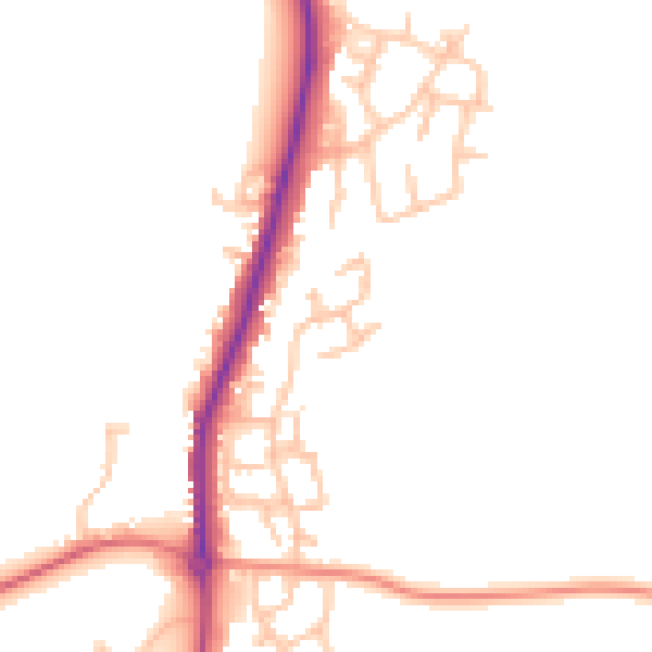
Daytime· 07:00 – 23:00
47.9dB

Night-time· 23:00 – 07:00
39.4dB