21 Aston Drive, Malvern, WR14 3JT
About 21 Aston Drive
21 Aston Drive is a property in Malvern (WR14 3JT). It has council tax band D.
Untraded for 25 years, with the last transfer in March 2001. Across 1998–2001, sale prices on this property compounded at 14.7% per year.
Know exactly what you're buying at 21 Aston Drive
Before you offer, see what the listing won't tell you, the true value, the red flags and the full history.
Already flagged here
Valuation
against the asking price
Risks
planning & flood
Sold prices
similar homes nearby
Trends
the local market
Energy performance
No EPC on record
This property doesn't have an Energy Performance Certificate yet. An EPC is required to sell or let — and unlocks our automated valuation.
Planning history
21 Aston Drive has no planning applications on record.
Notable planning nearby
1applications of note in the surrounding area
We flagged 1 thing worth checking at 21 Aston Drive
Independent checks surfaced things a buyer would want to understand before offering. The report explains each one in full, with the underlying data and what to ask.
- Larger development activity nearby
30-day money-back guarantee
Sales history & valuation
£105,000
Growth on file: 14.7% per year over 3 years.
Sales timeline
27 March 2001Most recent
£105,000
+45.8%over 2 years25 June 1998
£72,000
Median price across the last 5 sales in WR14 3JT: £320,000 (2025–2019).
Everything we know about 21 Aston Drive, in one report
What it's really worth, what could be wrong, and the planning, sales and area data in full.
What we flagged
- Larger development activity nearby

Similar properties nearby
1 Dukes Way
WR14 3JE
1 Coniston Close
WR14 3SN
1 Barnards Close
WR14 3NJ
1 Cameron Court, St Andrews Road
WR14 3QQ
1 Ellerslie Drive
WR14 3LJ
1 Crown Lea Court, Borrowdale Road
WR14 3NG
1 Croftdown Court
WR14 3HZ
1 Campion Drive
WR14 3SP
The neighbourhood at a glance
Daytime road noise here sits well below conversation level — a quiet pocket of the postcode.
Crime
3/mo
Steady year-on-year across the wider district.
Nearest stop
0.1 km
Brook Farm Drive — bus stop.
Closest school
0.5 km
The Chase. 6 schools nearby.
Go deeper on the local area
The full report breaks down crime, transport links, schools and air quality in depth.
Road noise across the postcode
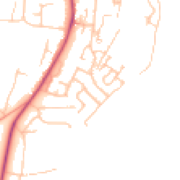
Daytime· 07:00 – 23:00
47.1dB

Night-time· 23:00 – 07:00
38.5dB