2 Carlton Road, Malvern, WR14 1HH
About 2 Carlton Road
2 Carlton Road is a property in Malvern (WR14 1HH). It has council tax band E.
Untraded for 22 years, with the last transfer in May 2004. 2 planning records sit against the property, 1 approved, 0 refused. Past consents include tree works, meaningful when judging how the property has evolved. Across 1999–2004, sale prices on this property compounded at 15.8% per year.
Know exactly what you're buying at 2 Carlton Road
Before you offer, see what the listing won't tell you, the true value, the red flags and the full history.
Already flagged here
Valuation
against the asking price
Risks
planning & flood
Sold prices
similar homes nearby
Trends
the local market
Energy performance
No EPC on record
This property doesn't have an Energy Performance Certificate yet. An EPC is required to sell or let — and unlocks our automated valuation.
Planning history
Planning history at 2 Carlton Road is exclusively tree-management applications — typical for a property with mature trees on or near the plot.
- Nov 2018Tree WorksTreesIn report
Undertake works to one birch tree, as detailed on application form
- Documents
- 2 docs on file
- Reference
- 18/01499/CAN
- Dec 2011Tree WorksTreesIn report
Fell one conifer and one apple tree
- Documents
- 1 doc on file
- Reference
- 11/01617/TCN
We flagged 1 thing worth checking at 2 Carlton Road
Independent checks surfaced things a buyer would want to understand before offering. The report explains each one in full, with the underlying data and what to ask.
- Larger development activity nearby
30-day money-back guarantee
Sales history & valuation
2 Carlton Road has more than doubled in price since the earliest registered sale in 1999.
£415,000
Growth on file: 15.8% per year over 5 years.
Sales timeline
17 May 2004Most recent
£415,000
+102.4%over 4 years22 July 1999
£205,000
Median price across the last 5 sales in WR14 1HH: £499,999 (2022–2015).
Everything we know about 2 Carlton Road, in one report
What it's really worth, what could be wrong, and the planning, sales and area data in full.
What we flagged
- Larger development activity nearby

Similar properties nearby
The neighbourhood at a glance
Rail-style transport is unusually close for this postcode.
Crime
3/mo
Steady year-on-year across the wider district.
Nearest stop
0.1 km
Albert Park Crossroads — bus stop.
Closest school
0.4 km
St Joseph's Catholic Primary School. 11 schools nearby.
Go deeper on the local area
The full report breaks down crime, transport links, schools and air quality in depth.
Road noise across the postcode
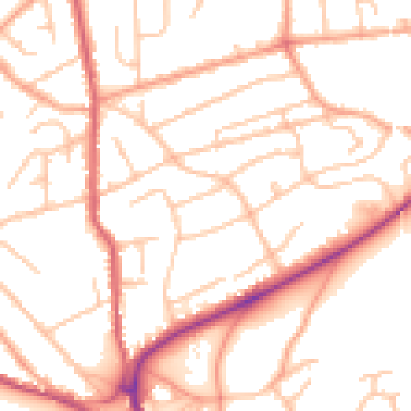
Daytime· 07:00 – 23:00
51.4dB

Night-time· 23:00 – 07:00
41.7dB