246 Worcester Road, Malvern, WR14 1AW
About 246 Worcester Road
246 Worcester Road is a three-bedroom semi-detached house in Malvern (WR14 1AW). It has a recorded floor area of 95 m² (around 1023 sq ft), construction records dating it to before 1900 and council tax band B. The latest certificate (March 2020) shows a D (score 59), a step below the typical UK home. The recommended improvements would lift it to B (score 87), a 2-band jump. Period features are noted in the property record.
Sold August 2021 for £245,000. Across the public record there are 4 sales, relatively high churn for a single property. That sale was during the post-pandemic price surge, when transactions cleared materially above pre-2020 trend. Across 1997–2021, sale prices on this property compounded at 6.4% per year. Today's modelled estimate of £299,000 is 22% above the 2021 sale price. On a £-per-square-foot basis, the last sale (£240/sq ft) was about 44.2% above the typical sold price in the postcode.
Know exactly what you're buying at 246 Worcester Road
Before you offer, see what the listing won't tell you, the true value, the red flags and the full history.
Already flagged here
Valuation
against the asking price
Risks
planning & flood
Sold prices
similar homes nearby
Trends
the local market
What this property has
Inside
- Bedrooms3
- Bathrooms1
- Dining roomYes
- Utility roomYes
Outside
- Private gardenRear
- ParkingOff road
Building
- Period featuresYes
Energy performance
Recommended upgrades on file would lift this property by multiple EPC bands.
EPC Rating
Planning history
246 Worcester Road has no planning applications on record.
Notable planning nearby
4applications of note in the surrounding area
We flagged 1 thing worth checking at 246 Worcester Road
Independent checks surfaced things a buyer would want to understand before offering. The report explains each one in full, with the underlying data and what to ask.
- Larger development activity nearby
30-day money-back guarantee
Sales history & valuation
Price for 246 Worcester Road has grown more than fourfold since the 1997 starting point.
£299,000
Modelled from EPC, postcode comparables and a sale-price growth of 6.4% per year over 24 years.
£245,000
Growth on file: 6.4% per year over 24 years.
Sales timeline
19 August 2021Most recent
£245,000
+81.5%over 15 years20 September 2005
£135,000
+13.4%over 3 years22 April 2002
£119,000
+122.4%over 5 years7 March 1997
£53,500
Median price across the last 5 sales in WR14 1AW: £232,000 (2023–2016).
Nearby sales in WR14 1AW
Everything we know about 246 Worcester Road, in one report
What it's really worth, what could be wrong, and the planning, sales and area data in full.
What we flagged
- Larger development activity nearby

Versus other Worcester Road homes
246 Worcester Road outperforms the street on price per m² by a wide margin.
Price per m²
£2,579
Street avg £2,062
Floor Area
95 m²
Street avg 102 m²
Habitable Rooms
5 rooms
Street avg 5 rooms
CO₂ Emissions
4.9 t/year
Street avg 6.1 t/year
Similar properties nearby
1 Bosbury Road
WR14 1TR
1 Albert Park Mews, Albert Park Road
WR14 1HN
1 Balmoral Close
WR14 1YB
1 Bracken Way
WR14 1JH
1 Bradley Drive
WR14 1JS
1 Albion Road
WR14 1PU
1 Biggin Hill Close
WR14 1GX
1 Buckingham Close
WR14 1YA
The neighbourhood at a glance
Rail-style transport is unusually close for this postcode.
Crime
3/mo
Steady year-on-year across the wider district.
Nearest stop
0.0 km
The Oak Inn — bus stop.
Closest school
0.7 km
St Matthias Church of England Primary School. 10 schools nearby.
Go deeper on the local area
The full report breaks down crime, transport links, schools and air quality in depth.
Road noise across the postcode
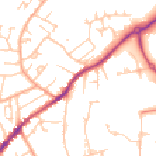
Daytime· 07:00 – 23:00
50.6dB

Night-time· 23:00 – 07:00
40.9dB