7 Church Street, Hightown, Liversedge, WF15 8HR
About 7 Church Street
7 Church Street is a one-bedroom mid-terrace house in Hightown, Liversedge, Liversedge (WF15 8HR). It has a recorded floor area of 47 m² (around 506 sq ft), construction records dating it to 2007-2011 and council tax band A. At 47 m² this is the smallest unit on EPC record across the building (47–226 m²). The building's EPC ratings span D to B across 11 units on file. Other recorded features include a self-contained annexe. The latest certificate (February 2026) shows a C (score 79), near the top of the C band. When first surveyed in March 2013 the rating was D, the property has climbed 1 band since. Between certificates, lighting dropped from Very Good to Good. This certificate was lodged in the last six months, so the rating reflects current condition.
At 47 m² it sits well below the postcode median (77 m² across 10 EPCs), making it one of the more compact homes locally. 1 bedrooms is on the smaller side for this postcode, where 3 is the typical count. Across 1998–2019, sale prices on this property compounded at 3.2% per year. Today's modelled estimate of £105,000 is 45.8% above the 2019 sale price. On a £-per-square-foot basis, the last sale (£142/sq ft) was about 27.4% above the typical sold price in the postcode. Last sale on file: £72,000 in October 2019.
Know exactly what you're buying at 7 Church Street
Before you offer, see what the listing won't tell you, the true value, the red flags and the full history.
Already flagged here
Launch offer · save £5
Valuation
against the asking price
Risks
planning & flood
Sold prices
similar homes nearby
Trends
the local market
What this property has
Inside
- Bedrooms1
Outside
- Communal gardenYes
- Parkingallocated
Building
- RefurbishedYes
Energy performance
7 Church Street's carbon output is low for the local stock.
EPC Rating
Property Improvements
Changes detected from historical EPC data
Heating controls upgraded for better temperature management
Planning history
7 Church Street has no planning applications on record.
Notable planning nearby
1applications of note in the surrounding area
We flagged 1 thing worth checking at 7 Church Street
Independent checks surfaced things a buyer would want to understand before offering. The report explains each one in full, with the underlying data and what to ask.
- Larger development activity nearby
30-day money-back guarantee
Sales history & valuation
7 Church Street valuation sits well clear of the typical sold price in this postcode.
£105,000
Modelled from EPC, postcode comparables and a sale-price growth of 3.2% per year over 21 years.
£72,000
Growth on file: 3.2% per year over 21 years.
Sales timeline
20 October 2019Most recent
£72,000
+33.3%over 4 years27 October 2014
£54,000
+45.9%over 16 years29 September 1998
£37,000
Median price across the last 5 sales in WF15 8HR: £122,000 (2023–2016).
Nearby sales in WF15 8HR
11 Church Street, Hightown, Liversedge, WF15 8HR
Sold Feb 2023
£130,00015 Church Street, Hightown, Liversedge, WF15 8HR
Sold Nov 2022
£122,00023 Church Street, Hightown, Liversedge, WF15 8HR
Sold Aug 2016
£340,00021 Church Street, Hightown, Liversedge, WF15 8HR
Sold Feb 2014
£350,00018 Church Street, Hightown, Liversedge, WF15 8HR
Sold Nov 2013
£138,000
Everything we know about 7 Church Street, in one report
What it's really worth, what could be wrong, and the planning, sales and area data in full.
What we flagged
- Larger development activity nearby

Versus other Church Street homes
On floor area, 7 Church Street runs well behind the street norm.
Price per m²
£1,532
Street avg £1,477
Floor Area
47 m²
Street avg 58 m²
Habitable Rooms
2 rooms
Street avg 3 rooms
CO₂ Emissions
1.1 t/year
Street avg 1.9 t/year
Similar properties nearby
1 Hartshead Court
WF15 8FG
1 Church Street, Hightown
WF15 8HR
1 Laverhills
WF15 8EB
1 Ferncroft
WF15 8DT
1 Hare Park Drive
WF15 8DH
1 Hare Park Lane
WF15 8EH
1 3, Chapel Street, Hightown
WF15 8HY
1 Lynfield Drive
WF15 8HH
The neighbourhood at a glance
Daytime road noise here sits well below conversation level — a quiet pocket of the postcode.
Crime
3/mo
Steady year-on-year across the wider district.
Nearest stop
0.1 km
Hightown Club — bus stop.
Closest school
0.2 km
Hightown Junior Infant & Nursery School. 16 schools nearby.
Go deeper on the local area
The full report breaks down crime, transport links, schools and air quality in depth.
Road noise across the postcode
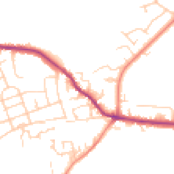
Daytime· 07:00 – 23:00
49.4dB

Night-time· 23:00 – 07:00
40.1dB