28 Lynfield Drive, Liversedge, WF15 8HH
About 28 Lynfield Drive
28 Lynfield Drive is a three-bedroom semi-detached house in Liversedge (WF15 8HH). It has a recorded floor area of 125 m² (around 1345 sq ft), construction records dating it to 1976-1982 and council tax band C. The latest certificate (August 2021) shows a D (score 65), on the cusp of jumping into the C band. Earlier certificates rated it C (April 2011); the latest reading is one band lower. Between certificates, wall efficiency dropped from Good to Average and roof efficiency dropped from Good to Average. The recommended improvements would push it to C (score 80). Records show the property has been extended at some point in its history. The home occupies a corner plot and a cul-de-sac position.
At 125 m² it's 23.8% larger than the typical home in the postcode (101 m² median across 23 EPCs). Today's modelled estimate of £279,000 is 15.3% above the 2022 sale price. On a £-per-square-foot basis, the last sale (£180/sq ft) was about 29.4% above the typical sold price in the postcode. Last sale on file: £242,000 in June 2022. That sale was during the post-pandemic price surge, when transactions cleared materially above pre-2020 trend.
Know exactly what you're buying at 28 Lynfield Drive
Before you offer, see what the listing won't tell you, the true value, the red flags and the full history.
Already flagged here
Launch offer · save £5
Valuation
against the asking price
Risks
planning & flood
Sold prices
similar homes nearby
Trends
the local market
What this property has
Inside
- Bedrooms3
- Bathrooms1
- Open-plan layoutYes
- Dining roomYes
- EnsuiteYes
- StudyYes
Outside
- Private gardenYes
- DrivewayYes
- Corner plotYes
- Cul-de-sacYes
Building
- Central heatingYes
- Previously extendedYes
Energy performance
EPC Rating
Planning history
28 Lynfield Drive has no planning applications on record.
Notable planning nearby
1applications of note in the surrounding area
We flagged 1 thing worth checking at 28 Lynfield Drive
Independent checks surfaced things a buyer would want to understand before offering. The report explains each one in full, with the underlying data and what to ask.
- Larger development activity nearby
30-day money-back guarantee
Sales history & valuation
The latest sale landed in the post-pandemic price surge — useful context when reading the figure.
£279,000
Modelled from EPC, postcode comparables.
£242,000
Recorded with HM Land Registry.
Sales timeline
16 June 2022Most recent
£242,000
Median price across the last 5 sales in WF15 8HH: £227,500 (2025–2021).
Nearby sales in WF15 8HH
Everything we know about 28 Lynfield Drive, in one report
What it's really worth, what could be wrong, and the planning, sales and area data in full.
What we flagged
- Larger development activity nearby

Versus other Lynfield Drive homes
Floor Area for 28 Lynfield Drive runs comfortably ahead of the street norm.
Price per m²
£1,936
Street avg £1,652
Floor Area
125 m²
Street avg 97 m²
Habitable Rooms
5 rooms
Street avg 5 rooms
CO₂ Emissions
5.2 t/year
Street avg 5.0 t/year
Similar properties nearby
1 Lynfield Drive
WF15 8HH
1 3, Chapel Street, Hightown
WF15 8HY
1 Hare Park Lane
WF15 8EH
1 Fall Lane, Hartshead
WF15 8AP
1 Heights Court
WF15 8HP
1 Ferncroft
WF15 8DT
1 Laverhills
WF15 8EB
1 Cuniver Court
WF15 8LR
The neighbourhood at a glance
Crime
3/mo
Steady year-on-year across the wider district.
Nearest stop
0.1 km
Lynfield Drive — bus stop.
Closest school
0.3 km
High Bank Junior Infant and Nursery School. 13 schools nearby.
Go deeper on the local area
The full report breaks down crime, transport links, schools and air quality in depth.
Road noise across the postcode
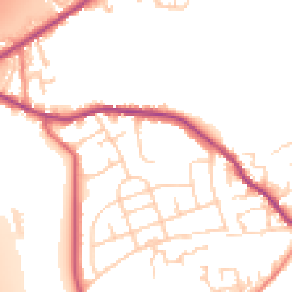
Daytime· 07:00 – 23:00
52.1dB

Night-time· 23:00 – 07:00
43.4dB