15 Church Park, Liversedge, WF15 7NA
About 15 Church Park
15 Church Park is a detached house in Liversedge (WF15 7NA). It has a recorded floor area of 90 m² (around 969 sq ft), construction records dating it to 1991-1995 and council tax band D. The latest certificate (June 2019) shows a C (score 69), just inside the C band. The recommended improvements would push it to B (score 82).
Across 1998–2023, sale prices on this property compounded at 4.9% per year. On a £-per-square-foot basis, the last sale (£284/sq ft) was about 135.3% above the typical sold price in the postcode. Sold February 2023 for £275,000.
Know exactly what you're buying at 15 Church Park
Before you offer, see what the listing won't tell you, the true value, the red flags and the full history.
Launch offer · save £5
Valuation
against the asking price
Risks
planning & flood
Sold prices
similar homes nearby
Trends
the local market
Energy performance
EPC Rating
Planning history
15 Church Park has no planning applications on record.
The full report still covers planning activity across the surrounding area.
Sales history & valuation
Sale price has grown by over 3x since 1998.
£299,000
Modelled from EPC, postcode comparables and a sale-price growth of 4.9% per year over 24 years.
£275,000
Growth on file: 4.9% per year over 24 years.
Sales timeline
17 February 2023Most recent
£275,000
+17.0%over 3 years4 December 2019
£235,000
+176.6%over 21 years8 September 1998
£84,950
Median price across the last 5 sales in WF15 7NA: £260,000 (2025–2020).
Nearby sales in WF15 7NA
Everything we know about 15 Church Park, in one report
What it's really worth, what could be wrong, and the planning, sales and area data in full.
- Am I paying too much?
- Is something wrong with it?
- Is the agent's story true?
- Will it hold its value?

Versus other Church Park homes
On price per m², 15 Church Park stands well clear of the street.
Price per m²
£3,056
Street avg £2,046
Floor Area
90 m²
Street avg 98 m²
Habitable Rooms
7 rooms
Street avg 6 rooms
CO₂ Emissions
3.5 t/year
Street avg 4.2 t/year
Similar properties nearby
The neighbourhood at a glance
Daytime road noise here sits well below conversation level — a quiet pocket of the postcode.
Crime
3/mo
Steady year-on-year across the wider district.
Nearest stop
0.1 km
Church Rd Community Centre — bus stop.
Closest school
0.3 km
Roberttown Church of England Voluntary Controlled Junior and Infant School. 19 schools nearby.
Go deeper on the local area
The full report breaks down crime, transport links, schools and air quality in depth.
Road noise across the postcode
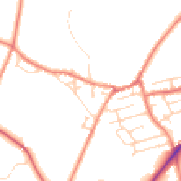
Daytime· 07:00 – 23:00
48.1dB

Night-time· 23:00 – 07:00
39.1dB